
use +/- or mouse scrollwheel for magnification. click here for full-sized image.
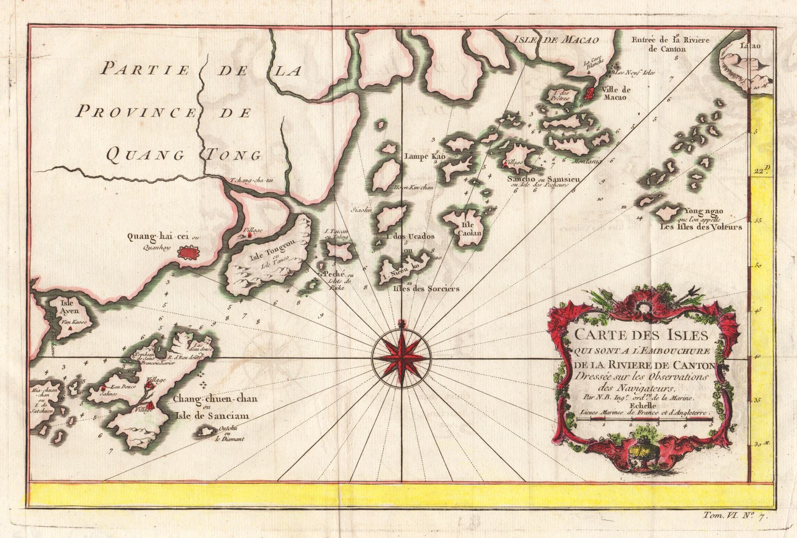
Carte des Isles qui Sont a L'Embouchure de la Riviere de Canton
This item has been sold. Please check our homepage for currently available maps.
Bellin's boldly designed chart of the islands "at the mouth of the Canton River" (Pearl River Delta), encompassing parts of Lantau island, Macao and the southeast coast of Guangdong Province to Shangchuan and Xiachuan Islands. A dramatically placed compass rose and an elaborate title cartouche add to the map's decorative appeal. From the atlas of Prevost d'Exiles' influential collection of travel narratives, Histoire Generale des Voyages. Item Number: RS2806
Cartographer: Bellin
Place & Date: Paris / 1750s
Size: 12 1/2" x 8"
Condition: outline color; light overall age toning; some overprinting
Price: SOLD