
use +/- or mouse scrollwheel for magnification. click here for full-sized image.
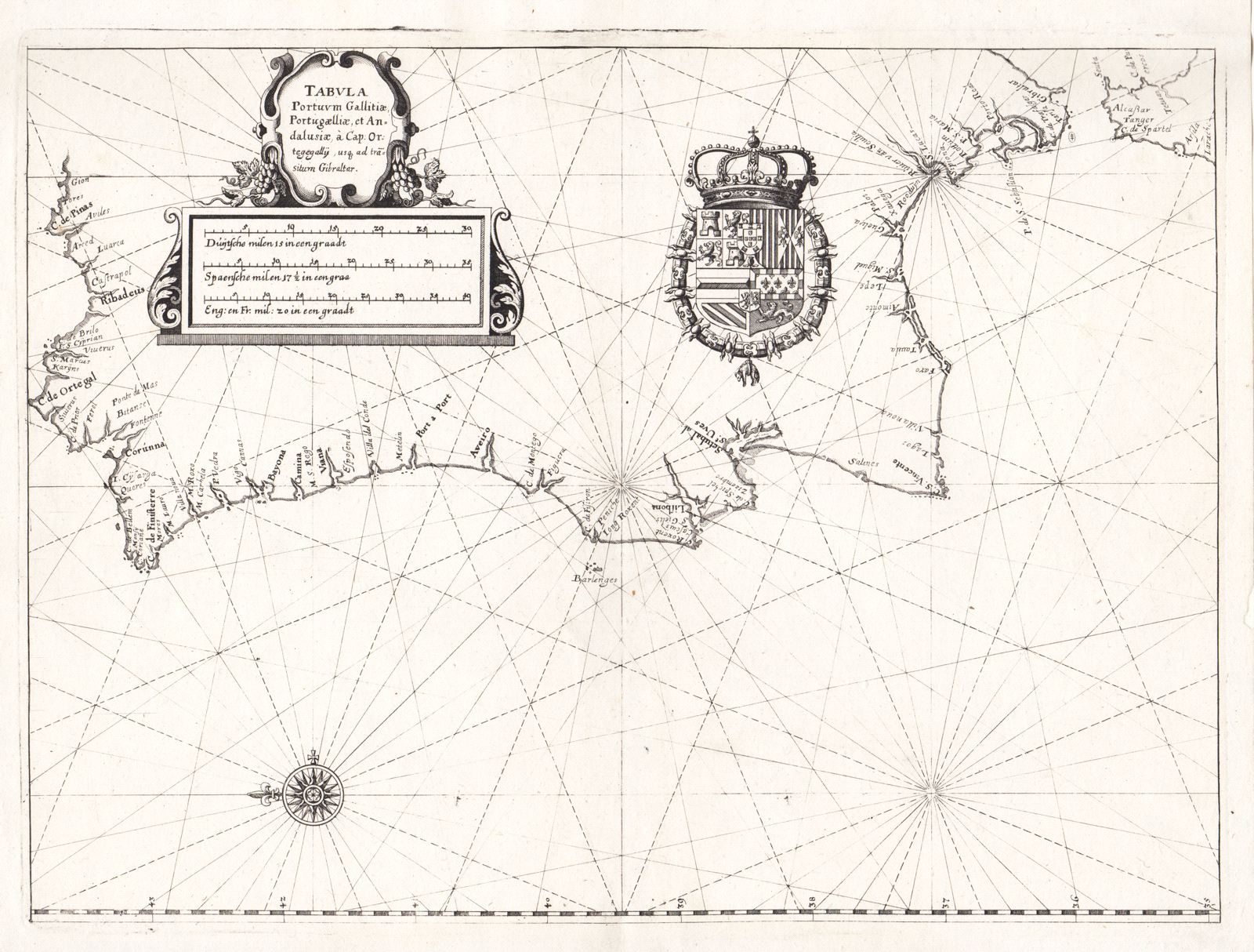
Tabula Portuum Gallitiae, Portugalliae et Andalusiae
This item has been sold. Please check our homepage for currently available maps.
Merian's scarce and detailed chart of the coasts of western Galicia, Portugal, Gibraltar and part of Andalucia. Oriented with north to the left, the chart features the royal Spanish coat of arms (during the unification with Portugal) and an elegant scrollwork title cartouche. Item Number: RS2795
Cartographer: Merian
Place & Date: Frankfurt / 1638
Size: 13 7/8" x 10 3/8"
Condition: b&w; cleaned and backed
Price: SOLD