
use +/- or mouse scrollwheel for magnification. click here for full-sized image.
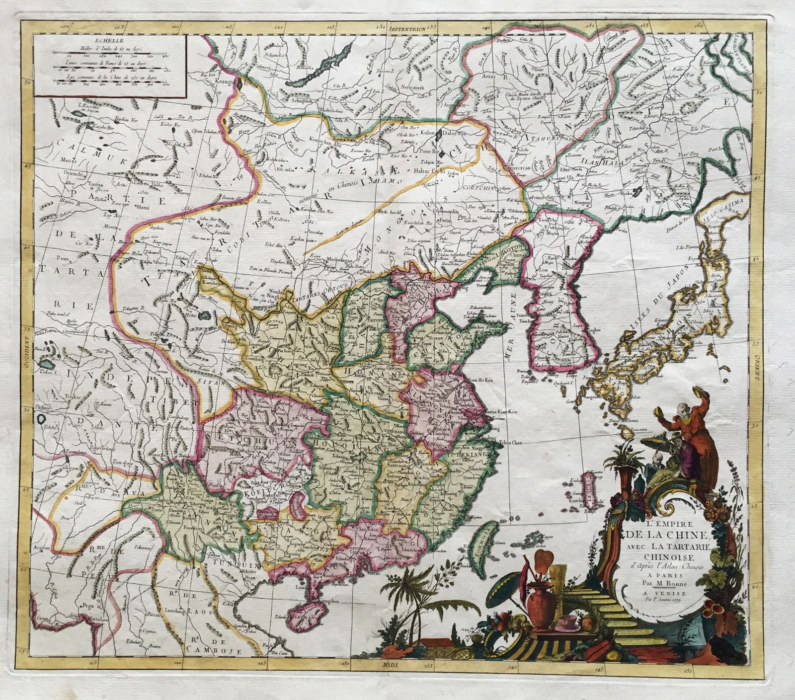
L'Empire de la Chine, avec la Tartarie Chinoise d'après l'Atlas Chinois
This item has been sold. Please check our homepage for currently available maps.
Bonne's highly detailed map of the Chinese empire, Korea and the Japanese Islands. Derived from the d'Anville/du Halde atlas of China, the map shows the provinces of China, includes many place names and topographical details and features a spectacularly decorative title cartouche. This beautifully preserved and colored exemplar of the Bonne map was published in Venice by Santini. Item Number: RS2714
Cartographer: Bonne/Santini
Place & Date: Venice / 1779
Size: 21 1/8" x 18 5/8"
Condition: wash color; a few light spots but otherwise a very fine exemplar
Price: SOLD