
use +/- or mouse scrollwheel for magnification. click here for full-sized image.
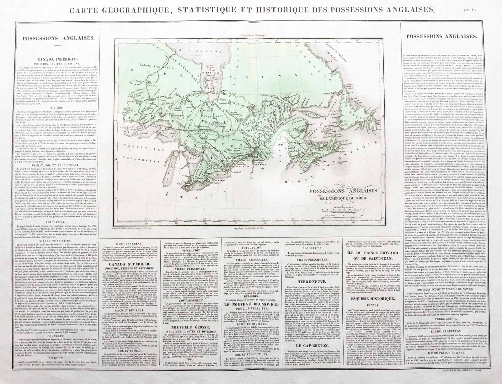
Carte Geographique, Historique et Statistique des Possessions Anglaises.
This item has been sold. Please check our homepage for currently available maps.
The Canada sheet from the Atlas Geographique, Statistique, Historique, et Cronologique des Deux Ameriques, the French version of Carey & Lea's American Atlas, published in Paris by J. Carez. The highly detailed and accurate map of Canada, extending from Newfoundland to what is now the western border of Ontario, is surrounded on three sides by text describing the geography, economy, climate, principal cities, population, and government of Lower Canada (part of present-day Quebec), Upper Canada (Ontario), Nova Scotia, New Brunswick, Newfoundland, Cape Breton, and Prince Edward Island, plus a sketch of Canada's history. Item Number: RS2690
Cartographer: Buchon / J. Carez
Place & Date: Paris / 1825
Size: 24 1/4" x 18 3/4" (overall)
Condition: wash color; light overall age toning; some fraying and tearing along edge of upper margin, otherwise a beautifully preserved exemplar
Price: SOLD