
use +/- or mouse scrollwheel for magnification. click here for full-sized image.
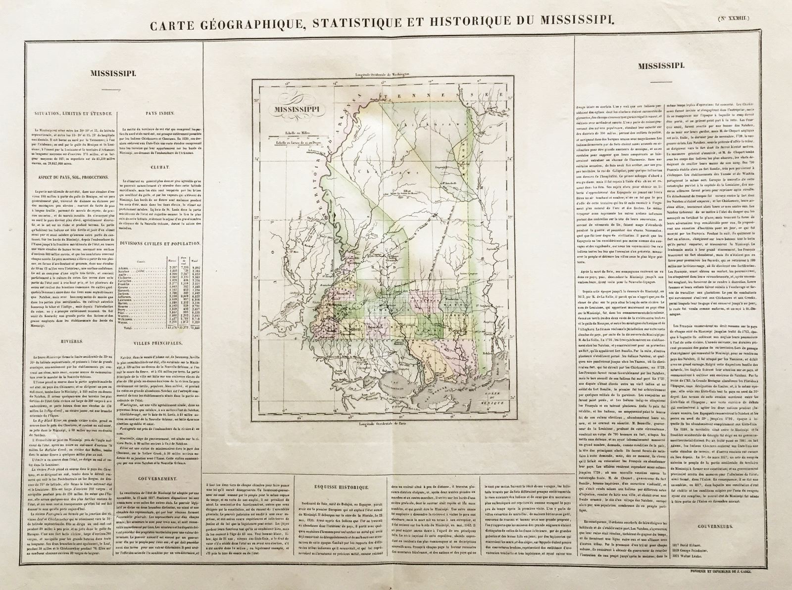
Carte Geographique, Historique et Statistique du Mississipi.
This item has been sold. Please check our homepage for currently available maps.
The Mississippi sheet from the Atlas Geographique, Statistique, Historique, et Cronologique des Deux Ameriques, the French version of Carey & Lea's American Atlas, published in Paris by J. Carez. Beautifully colored by county, the highly detailed and accurate map of Mississippi is surrounded on three sides by text describing the state and its geography, economy, climate, principal cities, population by county, government, and history, plus a list of governors. Item Number: RS2689
Cartographer: Buchon / J. Carez
Place & Date: Paris / 1825
Size: 24" x 18 3/4" (overall)
Condition: wash color; light overall age toning; a beautifully preserved exemplar
Price: SOLD