
use +/- or mouse scrollwheel for magnification. click here for full-sized image.
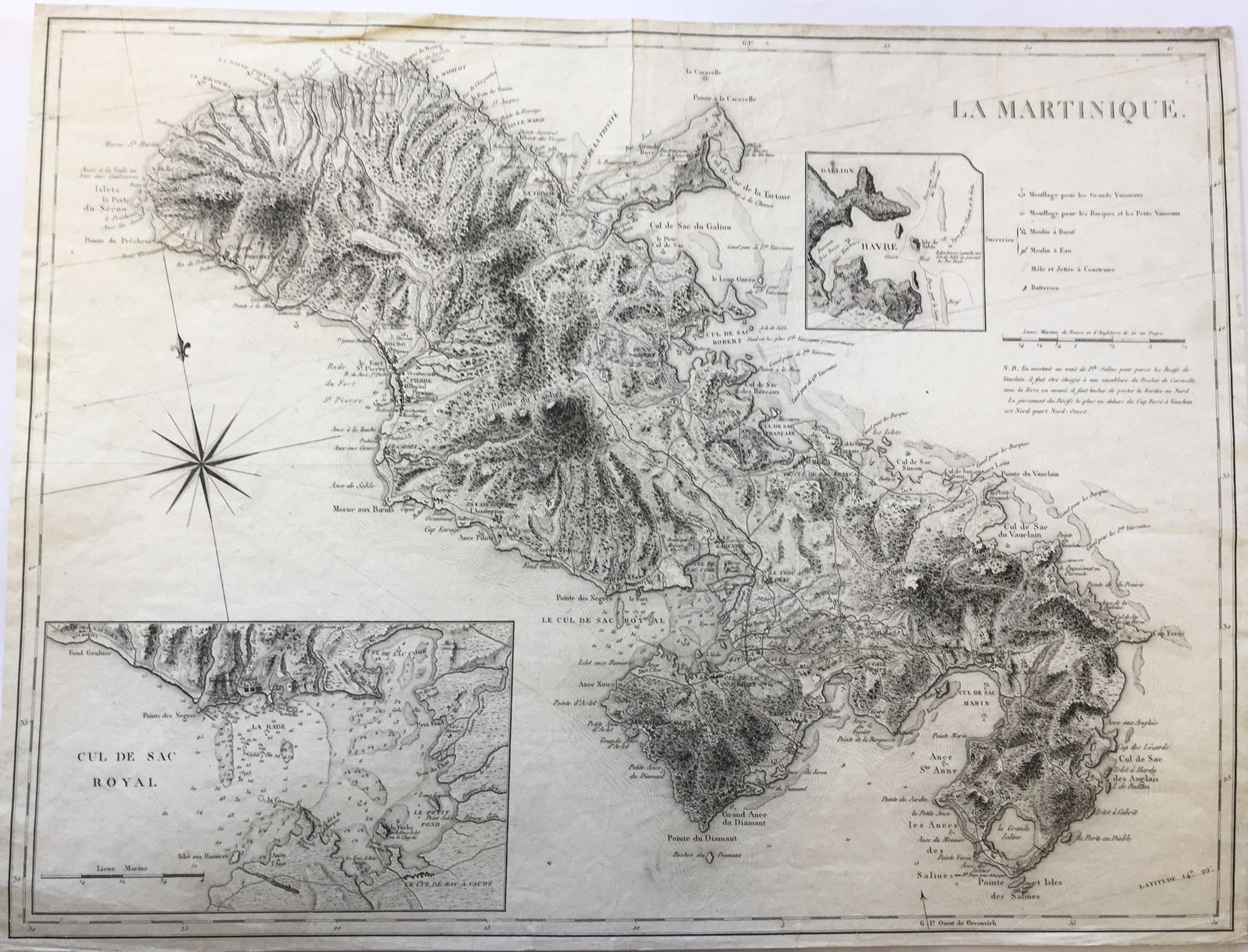
La Martinique.
This item has been sold. Please check our homepage for currently available maps.
A scarce, superbly detailed map of Martinique, derived from the Jefferys 1790s maps of the island. Like the Jefferys 1795 map, this French issue includes excellent topographical and navigational details, many place names, and highly detailed inset charts of the Cul de Sac Royal and Cul de Sac Robert ("Havre"). Alongside the latter is an icon key identifying anchorages, sugar mills, piers and jetties, and batteries. Item Number: RS2661
Cartographer: Dépôt de la Marine
Place & Date: Paris / 1800 (?)
Size: 13 1/4" x 17 3/4"
Condition: b&w; overall age toning; minor spotting and some smudges; a well-repaired tear in upper part of map
Price: SOLD