
use +/- or mouse scrollwheel for magnification. click here for full-sized image.
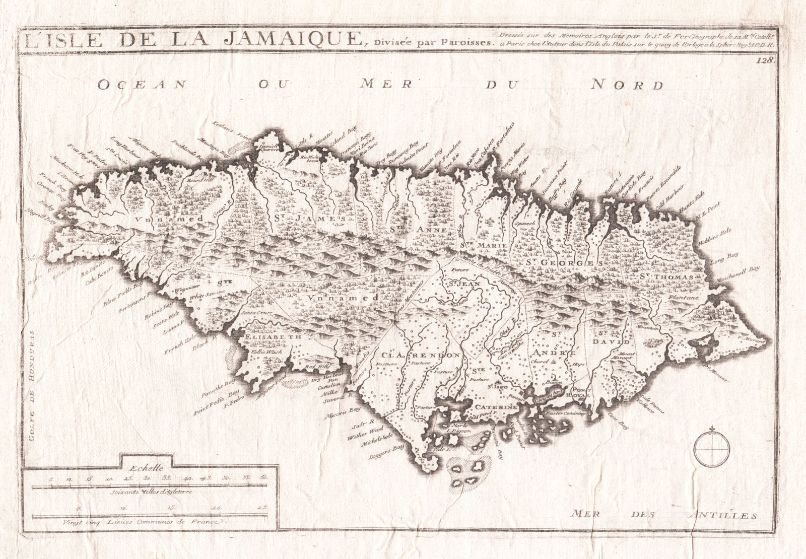
l'Isle de la Jamaique, divisee par Paroisses
This item has been sold. Please check our homepage for currently available maps.
De Fer's wonderfully detailed map of Jamaica, divided into parishes, with rich topographical detail and many coastal place names. From de Fer's Atlas Curieux. Item Number: RS2656
Cartographer: de Fer/Pierre Mortier
Place & Date: Paris / 1702
Size: 13 3/8" x 9"
Condition: b&w; linen-backed; some staining and creasing
Price: SOLD