
use +/- or mouse scrollwheel for magnification. click here for full-sized image.
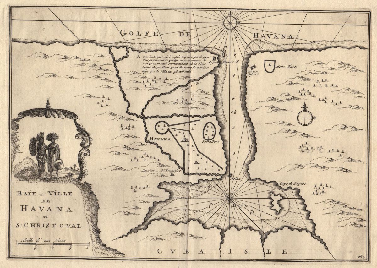
Baye et Ville de Havana ou St. Christoval
This item has been sold. Please check our homepage for currently available maps.
A plan of the town and bay of Havana, based on the 1675 plan by Roggeveen, from the Suitte des Forces de l'Europe, by N. de Fer, Beaulieu, etc, published by PierreMortier. The title cartouche at left is surmounted by a pair of Cuban Taino Indians. Item Number: RS2648
Cartographer: de Fer/Pierre Mortier
Place & Date: Paris (?) / 1702
Size: 12 3/8" x 8 5/8"
Condition: b&w; minor spotting along outer edge of bottom margin
Price: SOLD