
use +/- or mouse scrollwheel for magnification. click here for full-sized image.
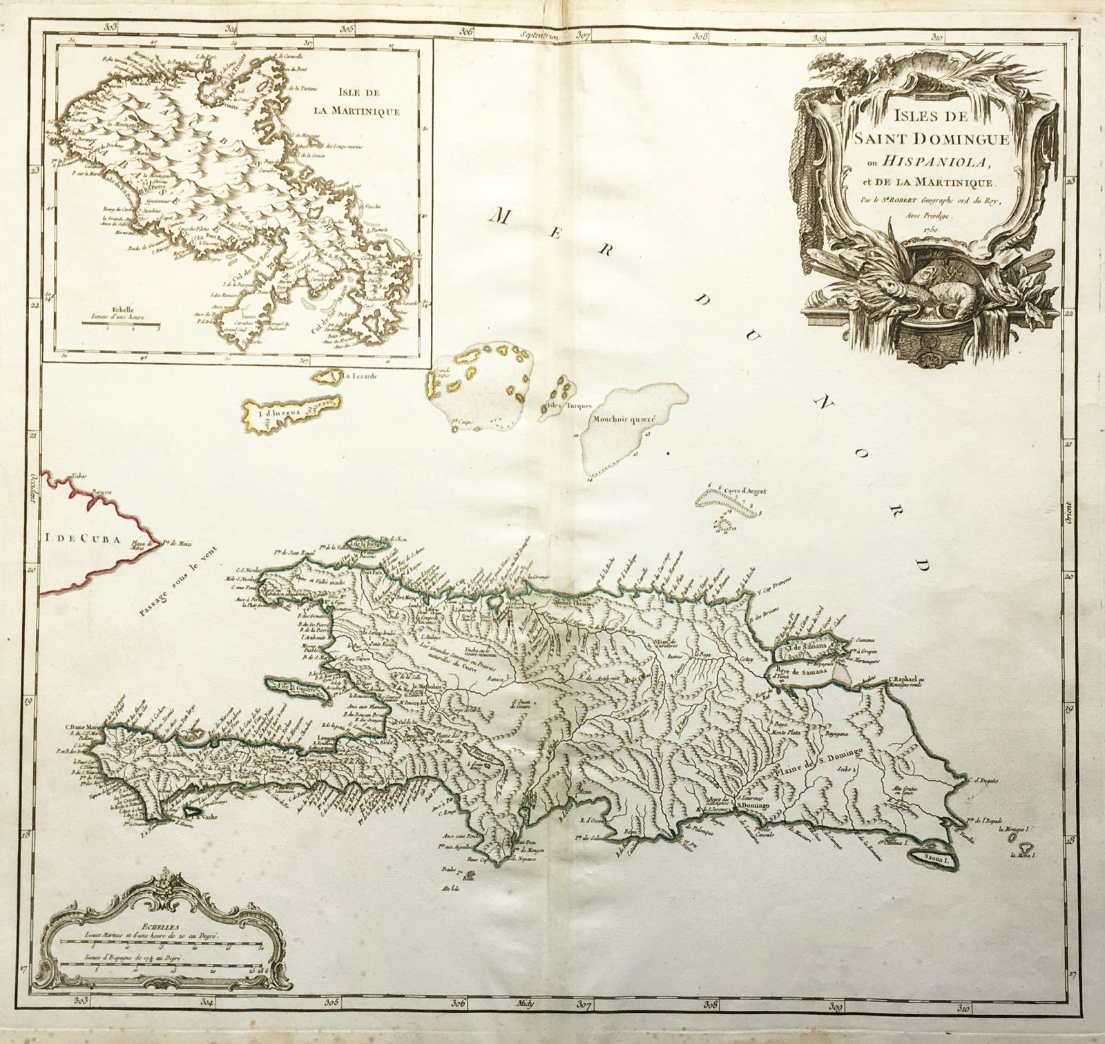
Isles de Saint Domingue ou Hispaniola et de la Martinique.
This item has been sold. Please check our homepage for currently available maps.
The elder Robert's superb map of Hispaniola/Saint Domingue, with an inset map of Martinique and a dramatic maritime-motif title cartouche. Item Number: RS2611
Cartographer: Gilles Robert de Vaugondy
Place & Date: Paris / 1750
Size: 20 1/4" x 19"
Condition: outline color/b&w cartouche; overall age toning; some spotting and staining, mostly in the margins; small repaired splits in upper centerfold margin
Price: SOLD