
use +/- or mouse scrollwheel for magnification. click here for full-sized image.
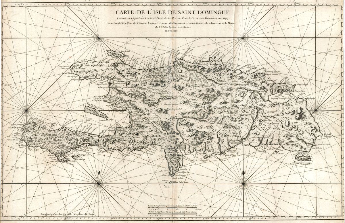
Carte de l'Isle de Saint Domingue.
This item has been sold. Please check our homepage for currently available maps.
The first edition of Bellin's spectacular, large scale map of Hispaniola. Its meticulous topographical and nautical detail makes this one of the major 18th century maps of Hispaniola. Item Number: RS2608
Cartographer: Bellin
Place & Date: Paris / 1764
Size: 36 1/2" x 22 3/8"
Condition: b&w; a strong, dark impression; some creasing along centerfold and elsewhere; left and right margins trimmed close with loss of neatline.
Price: SOLD