
use +/- or mouse scrollwheel for magnification. click here for full-sized image.
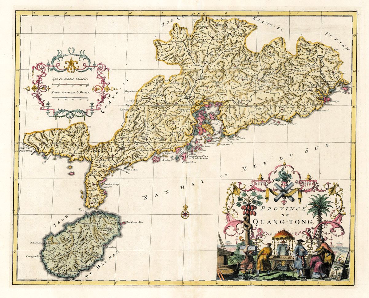
Province de Quang-Tong
This item has been sold. Please check our homepage for currently available maps.
The first edition of D'Anville's highly detailed map of China's Canton (Guangdong) province and Hainan Island, reissued in 1737 in the atlas volume of du Halde's Description geographique historique...de l'Empire de la Chine et de la Tartarie Chinoise. Based on Jesuit sources, d'Anville's maps remained the definitive European rendering of China's provinces until the end of the 19th century. The Quang-Tong map focuses on the Hong Kong and Macao/Pearl River Delta region and features a splendid title cartouche depicting a European trader at work in China. A beautiful example of the mapmaker's and map colorist's art. Item Number: RS2600
Cartographer: d'Anville/du Halde
Place & Date: Paris / 1735
Size: 20 7/8" x 18 3/4"
Condition: beautifully colored; washed and sized; centerfold splits repaired
Price: SOLD