
use +/- or mouse scrollwheel for magnification. click here for full-sized image.
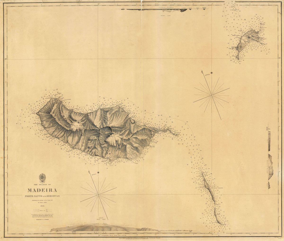
The Islands of Madeira Porto Santo and Dezertas
This item has been sold. Please check our homepage for currently available maps.
A large and dramatically detailed topographical map of the Portuguese Atlantic island of Madeira and its neighboring islands of Porto Santo and Dezerta Grande, Chao and Bugio. Surrounding the main map along the top, right and bottom borders are coastal profiles and elevations of the three main islands. Item Number: RS2596
Cartographer: Vidal/Hydrographic Office of the Admiralty
Place & Date: London / 1857
Size: 30 1/4" x 25 7/8"
Condition: b&w; overall darkening and some spotting; repaired splits along centerfold and upper and lower margins
Price: SOLD