
use +/- or mouse scrollwheel for magnification. click here for full-sized image.
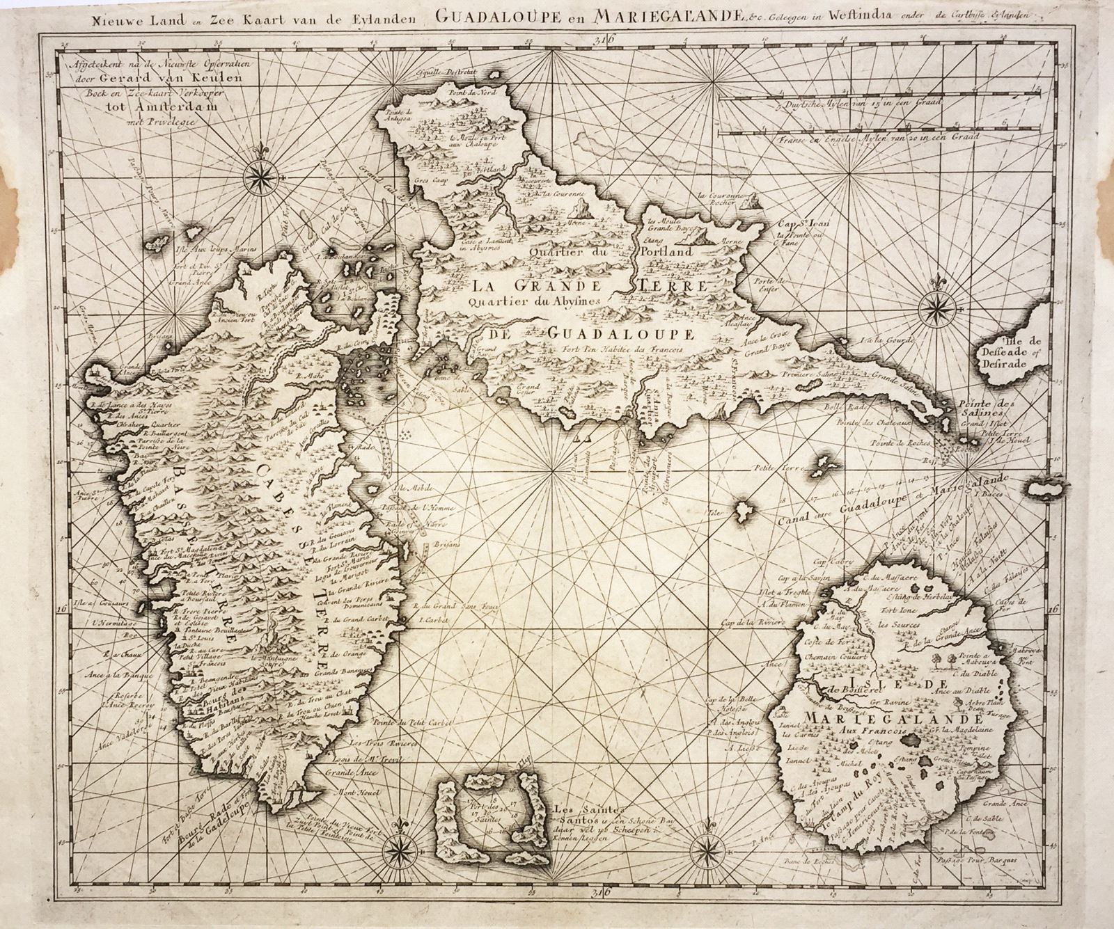
Nieuwe Land en Zee Kaart van de Eylanden Guadalupe en Mariegalande
This item has been sold. Please check our homepage for currently available maps.
A later (1780) edition of Gerard van Keulen's large and splendidly detailed 1720s sea chart of Guadeloupe and the adjacent islands of Marie Galante, les Saintes, and part of la Desirade. Item Number: RS2576
Cartographer: van Keulen
Place & Date: Amsterdam / 1720/1780
Size: 22 1/2" x 19 7/8"
Condition: b&w; overall age toning; two water stains in upper left and right margins not affecting image; some browning, wrinkling, and fraying along edges of top and bottom margins
Price: SOLD