
use +/- or mouse scrollwheel for magnification. click here for full-sized image.
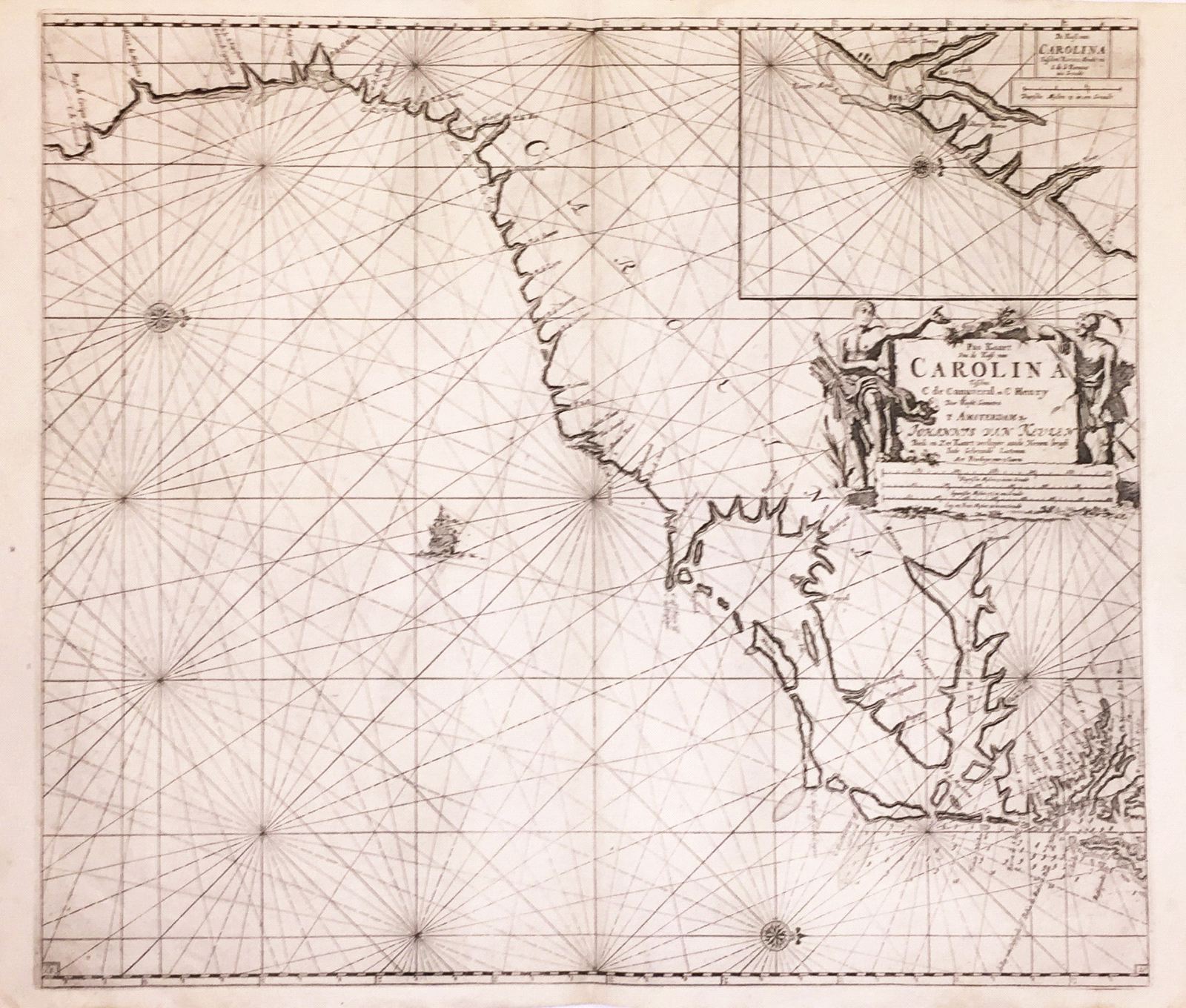
Pas Kaart van de Kust van Carolina
This item has been sold. Please check our homepage for currently available maps.
Oriented with north to the right, this beautifully designed and engraved chart of the coast of what is now the southeastern United States extends from Cape Canaveral in Florida to Cape Henry in Virginia. On the upper right hand corner is a large inset chart of Charleston harbor and its environs. This is a late (c. 1780)edition of the third and final (1734) state of this key Eastern Seaboard chart. Item Number: RS2562
Cartographer: van Keulen
Place & Date: Amsterdam / 1680/1734/1780
Size: 23" x 20 3/8"
Condition: b&w; overall age toning with some browning and minor fraying along edges of lower margin
Price: SOLD