
use +/- or mouse scrollwheel for magnification. click here for full-sized image.
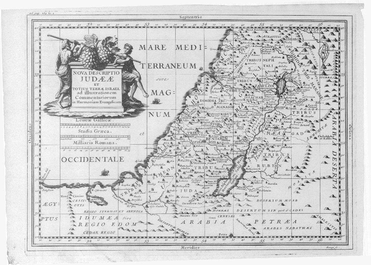
Nova descriptio Judaeae et totius Terrae Israel
This item has been sold. Please check our homepage for currently available maps.
The beautifully detailed and engraved folding map of the Holy Land from Lamy's Commentarius in concordiam evangelicam. Showing the territories of the twelve tribes of Israel, the map includes many place names and a decorative title cartouche flanked by two Israelites bearing a giant cluster of grapes brought back to Moses and Aaron from Canaan. Item Number: RS2521
Cartographer: Berey/Ertinger
Place & Date: Rouen / 1699
Size: 14 7/8" x 10 3/4"
Condition: b&w; light overall age toning
Price: SOLD