
use +/- or mouse scrollwheel for magnification. click here for full-sized image.
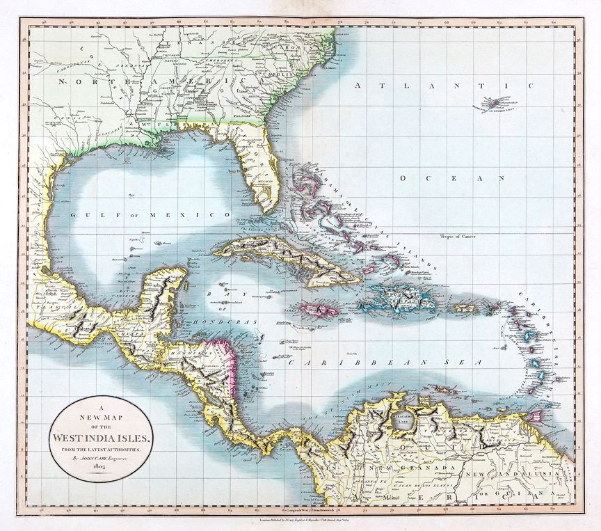
A New Map of the West India Isles
This item has been sold. Please check our homepage for currently available maps.
The beautifully colored, highly detailed West Indies map from Cary's New Universal Atlas encompasses Florida and southeastern North America, part of Mexico, all of Central America, northern South America ("the Spanish Main"), and Bermuda. In what is now Texas, there are eight place names and two notes indicating where French explorer LaSalle settled and where he was murdered in 1687. Item Number: RS2431
Cartographer: John Cary
Place & Date: London / 1803
Size: 20 1/8" x 18"
Condition: original color; light overall age toning; some browning in the upper margin around centerfold not affecting printed area
Price: SOLD