
use +/- or mouse scrollwheel for magnification. click here for full-sized image.
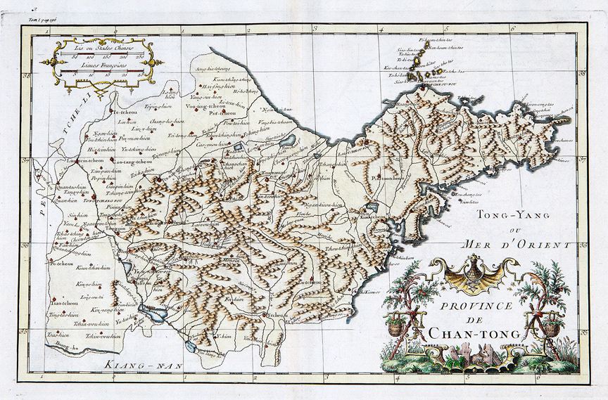
Province de Chan-tong
This item has been sold. Please check our homepage for currently available maps.
D'Anville's highly detailed and splendidly colored map of China's Chan-tong (Shandong) province from du Halde's Description geographique historique...de l'Empire de la Chine et de la Tartarie Chinoise. Based on Jesuit sources, d'Anville's maps remained the definitive European rendering of China's provinces until the end of the 19th century. Item Number: RS2414
Cartographer: d'Anville / du Halde
Place & Date: Paris / 1737
Size: 14 5/8" x 9 1/8"
Condition: beautifully colored; light offsetting
Price: SOLD