
use +/- or mouse scrollwheel for magnification. click here for full-sized image.
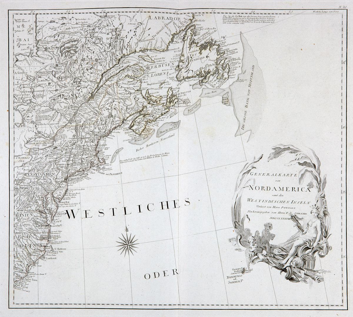
Generalkarte von Nordamerica samt den Westindischen Inseln
This item has been sold. Please check our homepage for currently available maps.
Schraembl's scarce and superb map of North America after Pownal, on four unjoined, self-contained sheets. The West Indies map contains an elaborate mileage-scale cartouche. The Mexico map includes an inset map of upper Baja California and northwestern Mexico focussing on Father Kino's confirmation that California is a peninsula not an island, as had once been believed. (Both of these highly detailed sheets show the routes of the Spanish treasure galleons in the Caribbean.) The Mississippi basin and Great Lakes sheet includes a inset map of Baffin and Hudson Bays. A magnificent title cartouche graces the map of northeastern North America, from Labrador to the Carolinas. Item Number: RS2394
Cartographer: F.A. Schraembl
Place & Date: Vienna / 1788
Size: 23 1/4" x 20" each sheet
Condition: light, original outline color; minor occasional spotting
Price: SOLD