
use +/- or mouse scrollwheel for magnification. click here for full-sized image.
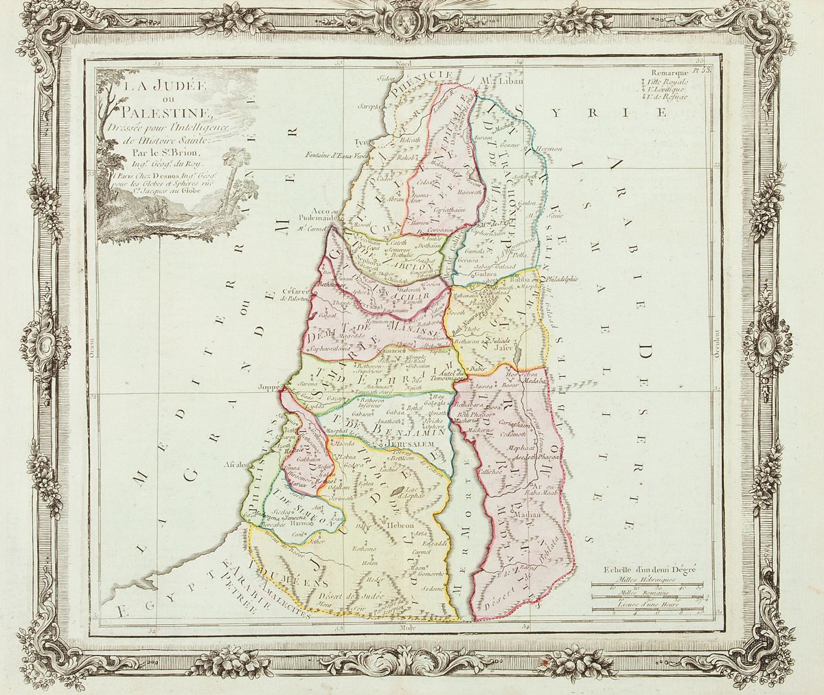
La Judée ou Palestine Dressée pour l’Intelligence de l’Histoire Sainte
This item has been sold. Please check our homepage for currently available maps.
Brion's attractive map of the Holy Land divided into tribal territories, with a key to royal, priestly and "refuge" cities, the whole surrounded by a decorative "frame" surmounted by the royal French coat of arms. Item Number: RS2375
Cartographer: Brion de la Tour
Place & Date: Paris / 1766
Size: 12" x 10 1/2"
Condition: wash color on light blue paper; minor spotting; upper margin trimmed close with some loss to edge of decorative "frame"
Price: SOLD