
use +/- or mouse scrollwheel for magnification. click here for full-sized image.
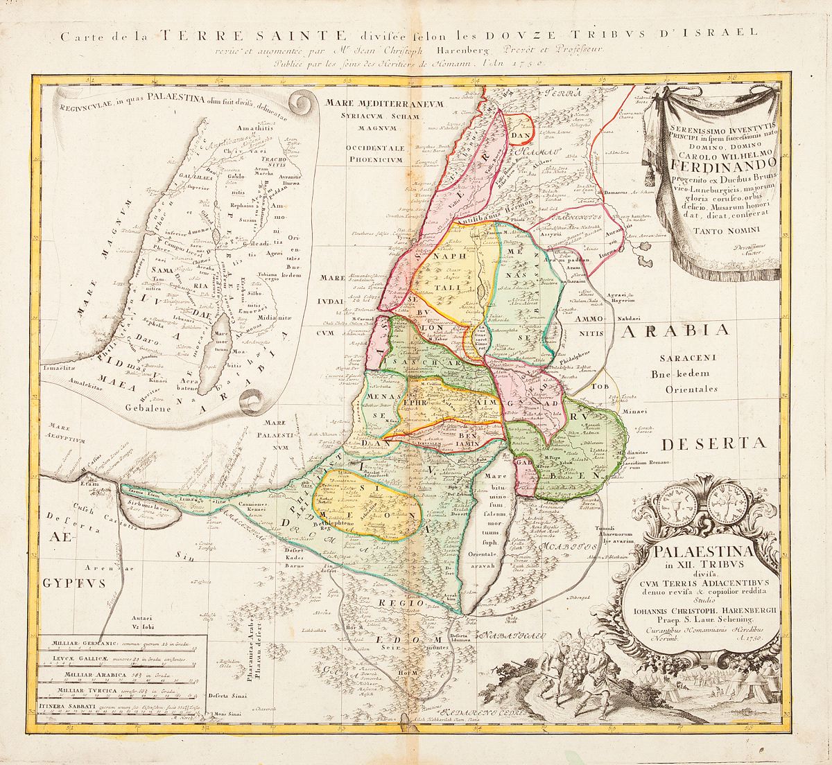
Palaestina in XII tribus divisa
This item has been sold. Please check our homepage for currently available maps.
Homann's fascinating map of the Holy Land "divided into 12 tribes and it adjacent lands" was "revised and augmented by J.C. Harenburg" according to the French title translation in the upper margin, and was included in Homann's Major Atlas Scholasticus. An inset scroll map shows the "petty kingdoms in which Palestine was once divided." The title cartouche illustrates the return of the spies from the Promised Land to the Israelite camp in the wilderness. Above it is a decorative dedicatory cartouche. Item Number: RS2373
Cartographer: Harenburg/Homann Heirs
Place & Date: Nurnberg / 1750
Size: 20 1/2" x 18 3/4"
Condition: outline color (tribal areas in wash color and cartouches in b/w); light overall age toning; browning and spotting along centerfold and in margins; a wormhole in the centerfold in the bottom of the image.
Price: SOLD