
use +/- or mouse scrollwheel for magnification. click here for full-sized image.
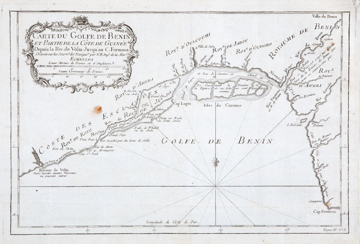
Carte de Golfe de Benin et Partie de la Cote de Guinee
This item has been sold. Please check our homepage for currently available maps.
Bellin's attractively designed and detailed map of the Gulf (Bight) of Benin and part of the Guinea coast, from the mouth of the Volta (Ghana) to Cape Formosa (Nigeria), from the atlas of Prevost d'Exiles' influential collection of travel narratives, Histoire Generale des Voyages. The map features many place names, including the Slave Coast, the Kingdom of Benin (among other kingdoms), and Cape Lagos and the Curamo Islands, site of present day Nigeria's great metropolis. Item Number: RS2328
Cartographer: Bellin
Place & Date: Paris / 1747/1760
Size: 11 5/8" x 7 3/4"
Condition: b&w; light overall age toning; some spotting and staining; margins extended with contemporary paper to fit the size of the atlas volume
Price: SOLD