
use +/- or mouse scrollwheel for magnification. click here for full-sized image.
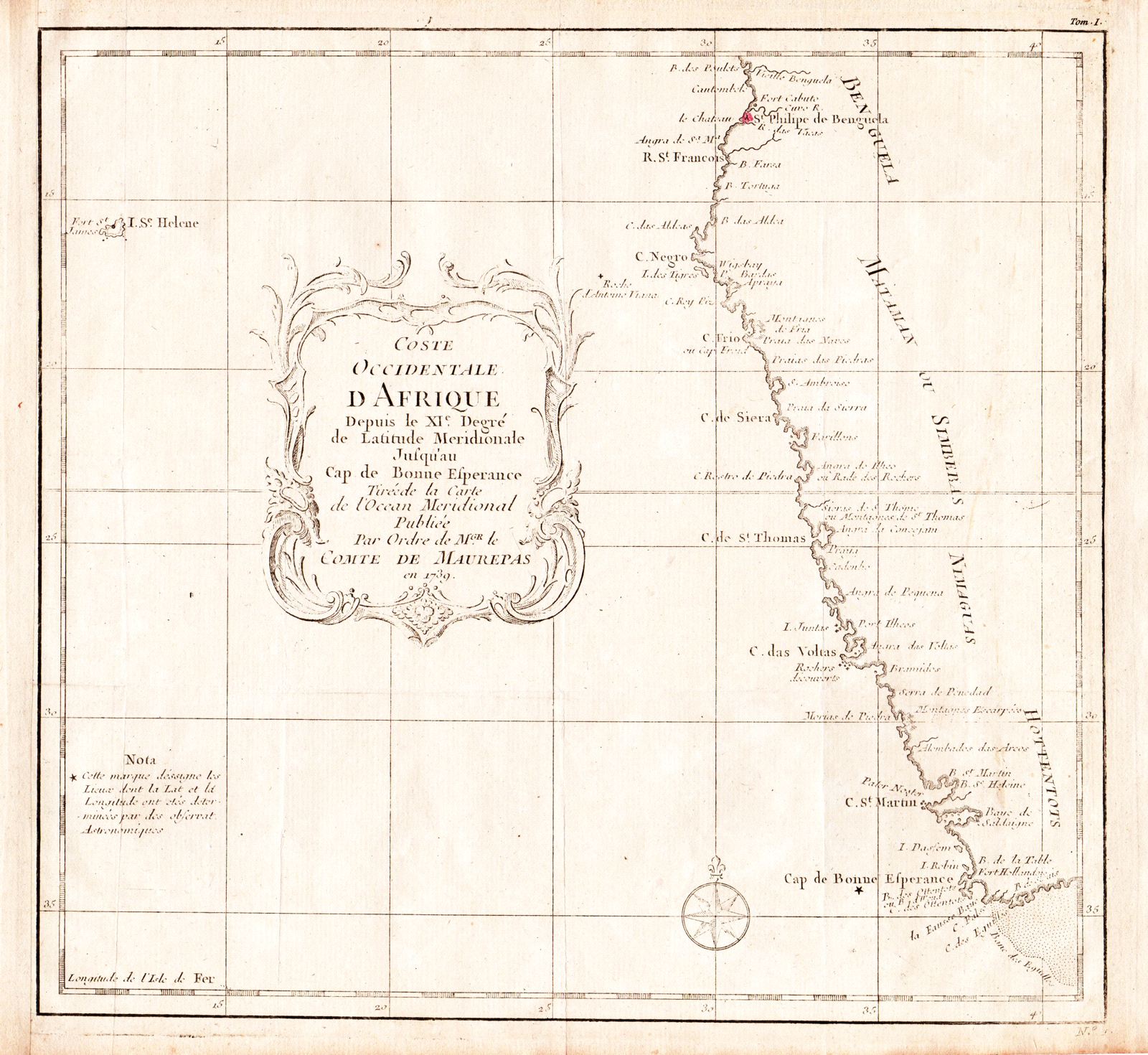
Coste Occidentale d’Afrique Depuis le XIe degre
This item has been sold. Please check our homepage for currently available maps.
Bellin's map of the west coast of Africa, from Benguela (Angola) to the Cape of Good Hope, from the atlas of Prevost d'Exiles' influential collection of travel narratives, Histoire Generale des Voyages. Includes the island of St. Helena in the Atlantic and a beautifully decorative title cartouche. Item Number: RS2318
Cartographer: Bellin
Place & Date: Paris / 1739/1760
Size: 10 1/4" x 9 1/2"
Condition: b&w; a light impression; overall age toning; margins extended with contemporary paper to fit the size of the atlas volume
Price: SOLD