
use +/- or mouse scrollwheel for magnification. click here for full-sized image.
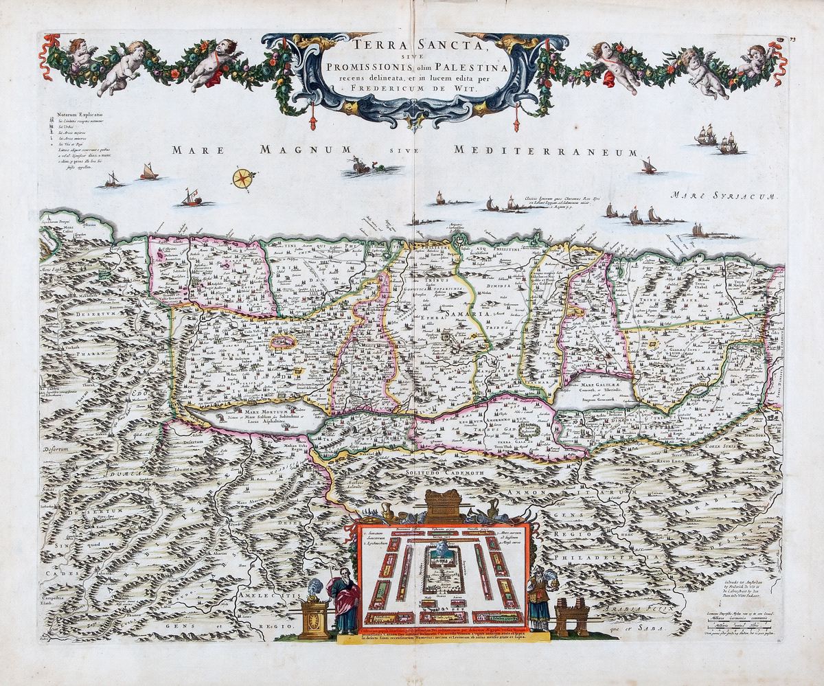
Terra Sancta sive Promissionis, olim Palestina recens delineata
This item has been sold. Please check our homepage for currently available maps.
A beautifully designed and colored map of the Holy Land, divided by tribe, with a vignette of Jonah and the whale in the Mediterranean and many cities, towns, and topographical details throughout. At the bottom of the map is an inset plan of the Israelite desert encampment centered on the tabernacle and flanked by Moses and Aaron. Based on von Adrichom's 1592 Holy Land map. Item Number: RS2301
Cartographer: de Wit
Place & Date: Amsterdam / 1680
Size: 21 1/2" x 18"
Condition: original color; overall age toning and some staining and spotting, mostly in the margins; centerfold creasemarks; repaired splits in upper and lower centerfold; some nicks and tears along edges of margins
Price: SOLD