
use +/- or mouse scrollwheel for magnification. click here for full-sized image.
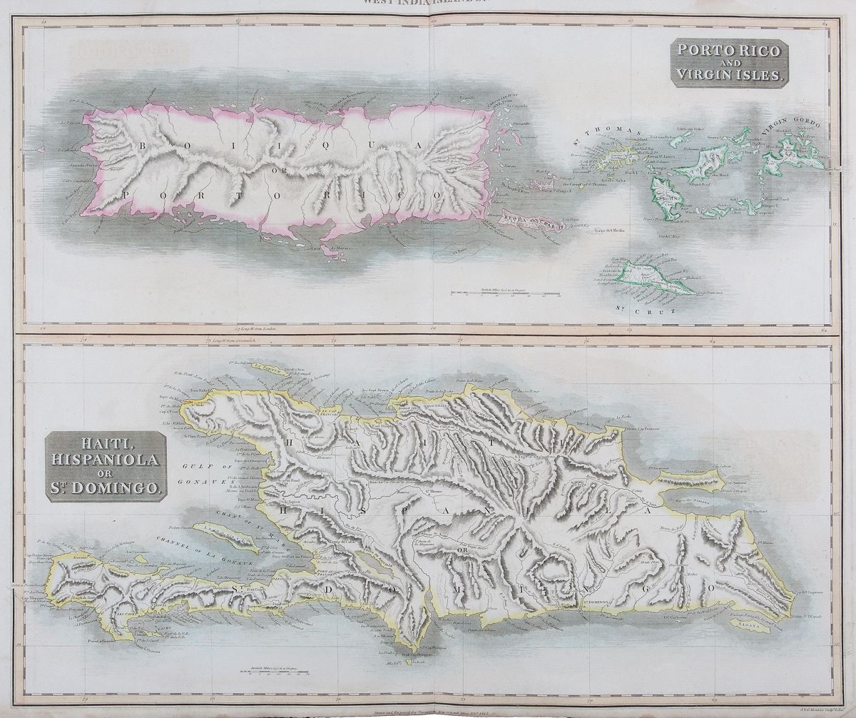
Puerto Rico and Virgin Isles/Haiti, Hispaniola, or St. Domingo
This item has been sold. Please check our homepage for currently available maps.
Two highly detailed topographical maps on a single sheet from Thomson's influential New General Atlas. The upper map is of Puerto Rico and the Virgin Islands; the lower map is of Hispaniola Item Number: RS2281
Cartographer: Thomson
Place & Date: Edinburgh / 1815/1817
Size: 24" x 20 1/8"
Condition: light overprinting; some browning and staining along edges of margins
Price: SOLD