
use +/- or mouse scrollwheel for magnification. click here for full-sized image.
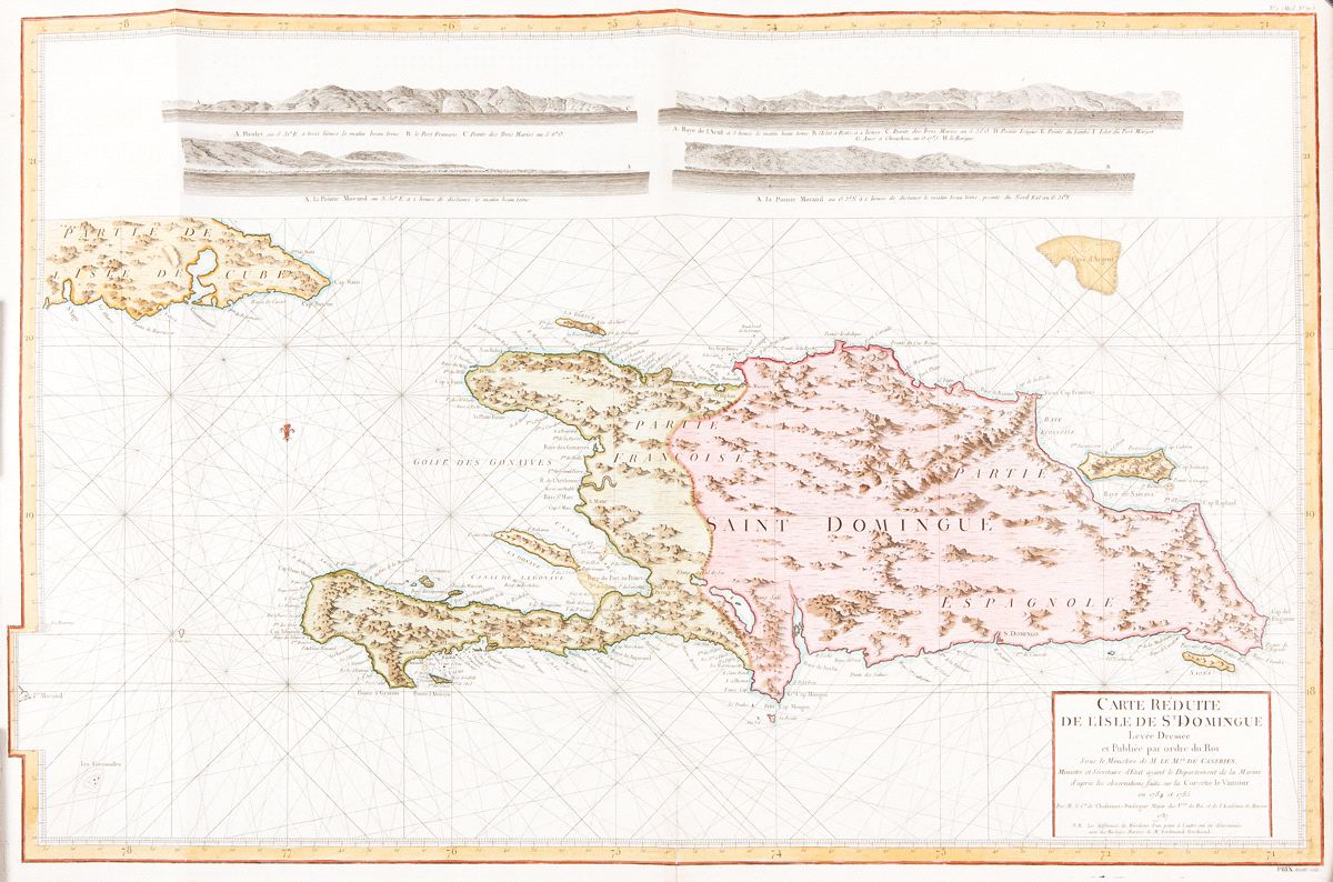
Carte Réduite de l'Isle de St. Domingue.
This item has been sold. Please check our homepage for currently available maps.
A magnificent chart of Hispaniola, with part of Cuba and four coastal profiles along the top of the sheet, from the French navigational atlas of the island, Le Pilote de l'Isle de Saint-Domingue. Item Number: RS2263
Cartographer: Chastenet-Puységur/Dépôt de la Marine
Place & Date: Paris / 1787
Size: 37 1/4" x 23 1/2"
Condition: beautifully colored; split in upper margin and border and along bottom centerfold expertly repaired
Price: SOLD