
use +/- or mouse scrollwheel for magnification. click here for full-sized image.
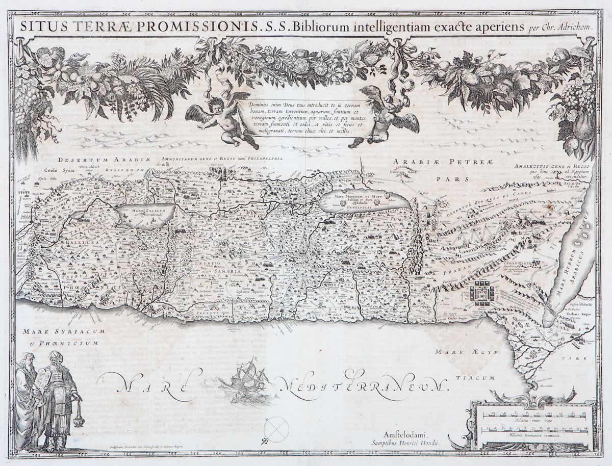
Situs Terrae promissionis
This item has been sold. Please check our homepage for currently available maps.
Hondius's superb Promised Land map, after Adrichom, shows the entire Holy Land, oriented north to the left and divided among the 12 Tribes. Features include the route of the Israelites out of Egypt and through the Sinai, a vignette of Jonah and the whale, and the figures of Moses and Aaron. A fruit and flower garland across the top of the sheet symbolizes plenty. Item Number: RS2260
Cartographer: Hondius
Place & Date: Amsterdam / 1633
Size: 19 3/8" X 14 5/8"
Condition: b&w; overall age toning and some spotting; some see through of text verso; small repaired tear in upper and lower centerfold
Price: SOLD