
use +/- or mouse scrollwheel for magnification. click here for full-sized image.
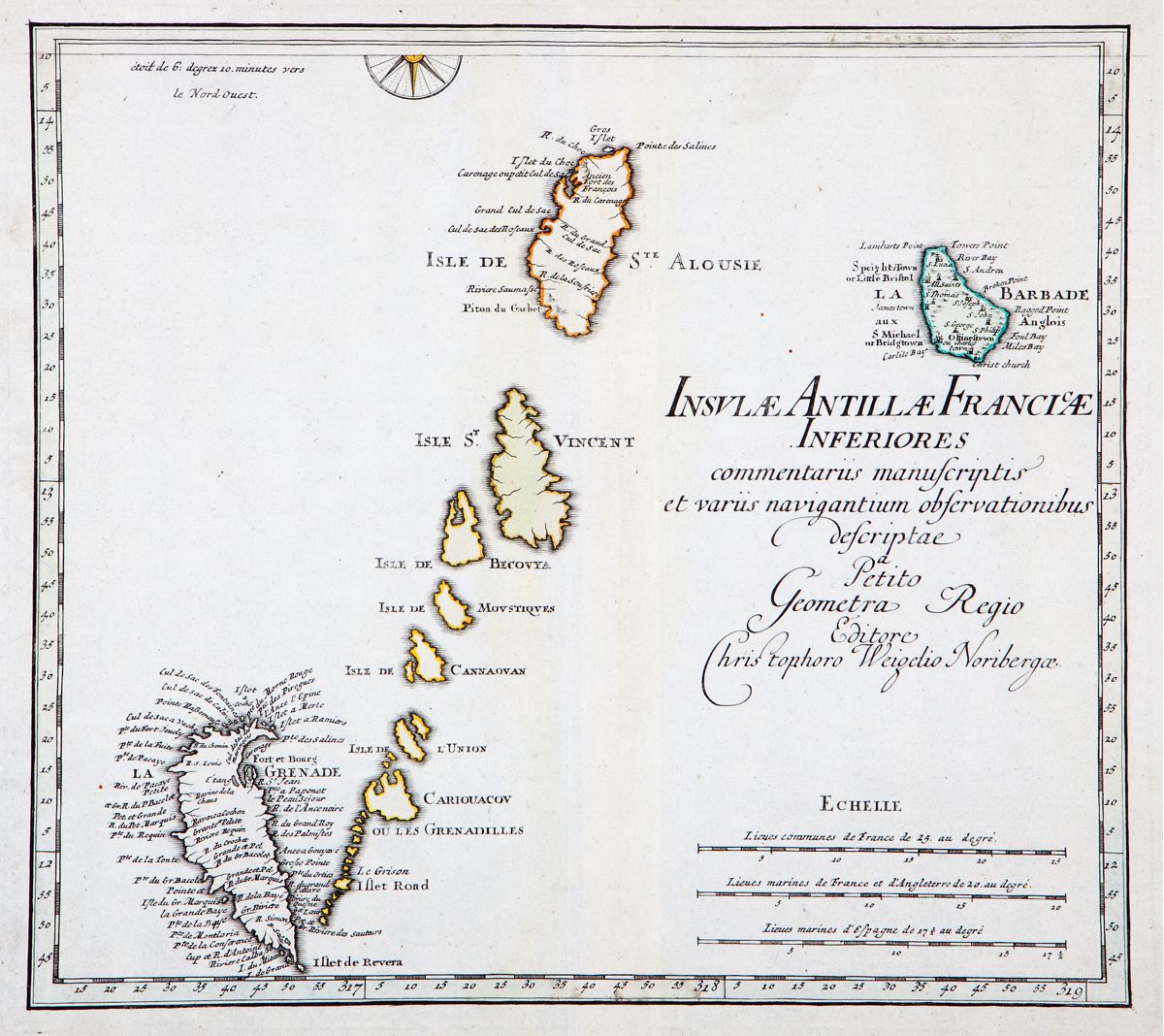
Insulae Antillae Franciae Inferiores
This item has been sold. Please check our homepage for currently available maps.
A dramatic German early 18th-century map of lower French Antilles, including St. Lucia, St. Vincent and the Grenadines, Grenada, and Barbados, based on "written commentaries and the observations of various navigators." A beautifully engraved and colored exemplar of an important French Antilles map. Item Number: RS2251
Cartographer: Weigel
Place & Date: Nurnberg / 1718
Size: 14 1/8" x 12 7/8"
Condition: delicate wash and outline color; light overall age toning
Price: SOLD