
use +/- or mouse scrollwheel for magnification. click here for full-sized image.
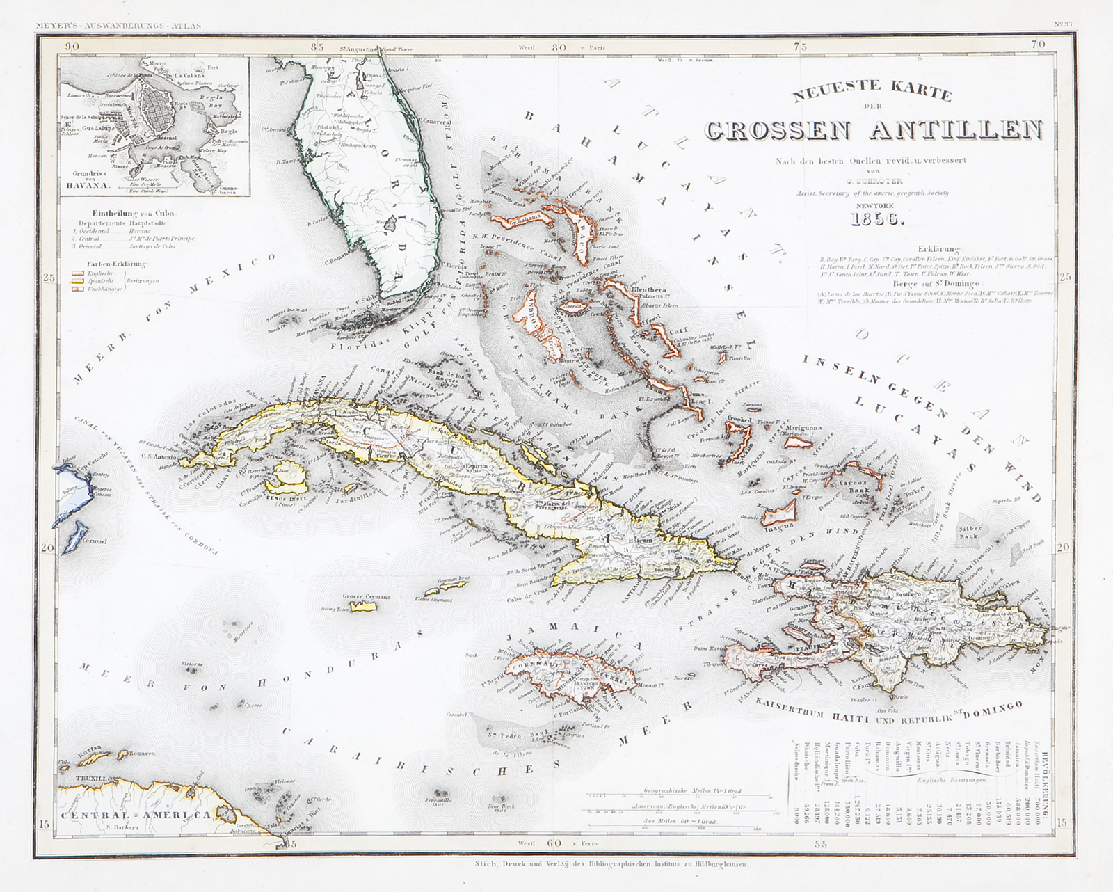
Neueste Karte der Grossen Antillen 1856
This item has been sold. Please check our homepage for currently available maps.
A beautifully rendered and detailed map of Cuba, Hispaniola and Jamaica, with the Florida peninsula, from Meyer's Auswanderungs-Atlas (Emigrant's Atlas) of North America. Includes a key to the European powers in the region, a key to the provinces of Cuba, an inset plan of Havana, and a list of the Greater and Lesser Antillesby colonial power, with each island's population. Item Number: RS2201
Cartographer: Bibliographischen Instituts
Place & Date: Hildburghausen / 1849/1857
Size: 14 1/4" x 11 1/2 "
Condition: original outline color
Price: SOLD