
use +/- or mouse scrollwheel for magnification. click here for full-sized image.
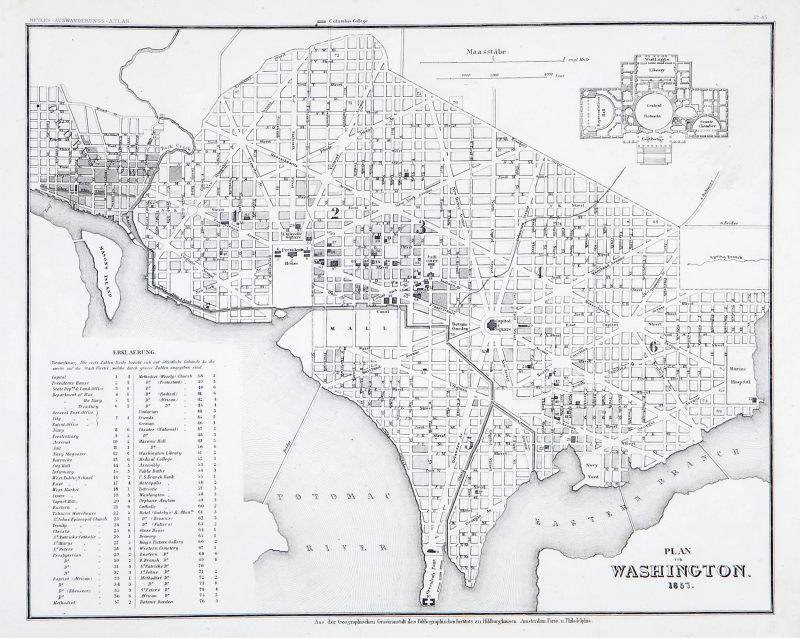
Plan von Washington 1857
This item has been sold. Please check our homepage for currently available maps.
The plan of Washington, D.C., from Meyer's Auswanderungs-Atlas (Emigrant's Atlas) of North America. Includes a plan of the Capitol building and an extensive numbered key to the city's principal sites and monuments. Item Number: RS2198
Cartographer: Bibliographischen Instituts.
Place & Date: Hildburghausen / 1849/1857
Size: 14 1/2" x 11 3/4"
Condition: b&w; light overall age toning, minor spotting along margins
Price: SOLD