
use +/- or mouse scrollwheel for magnification. click here for full-sized image.
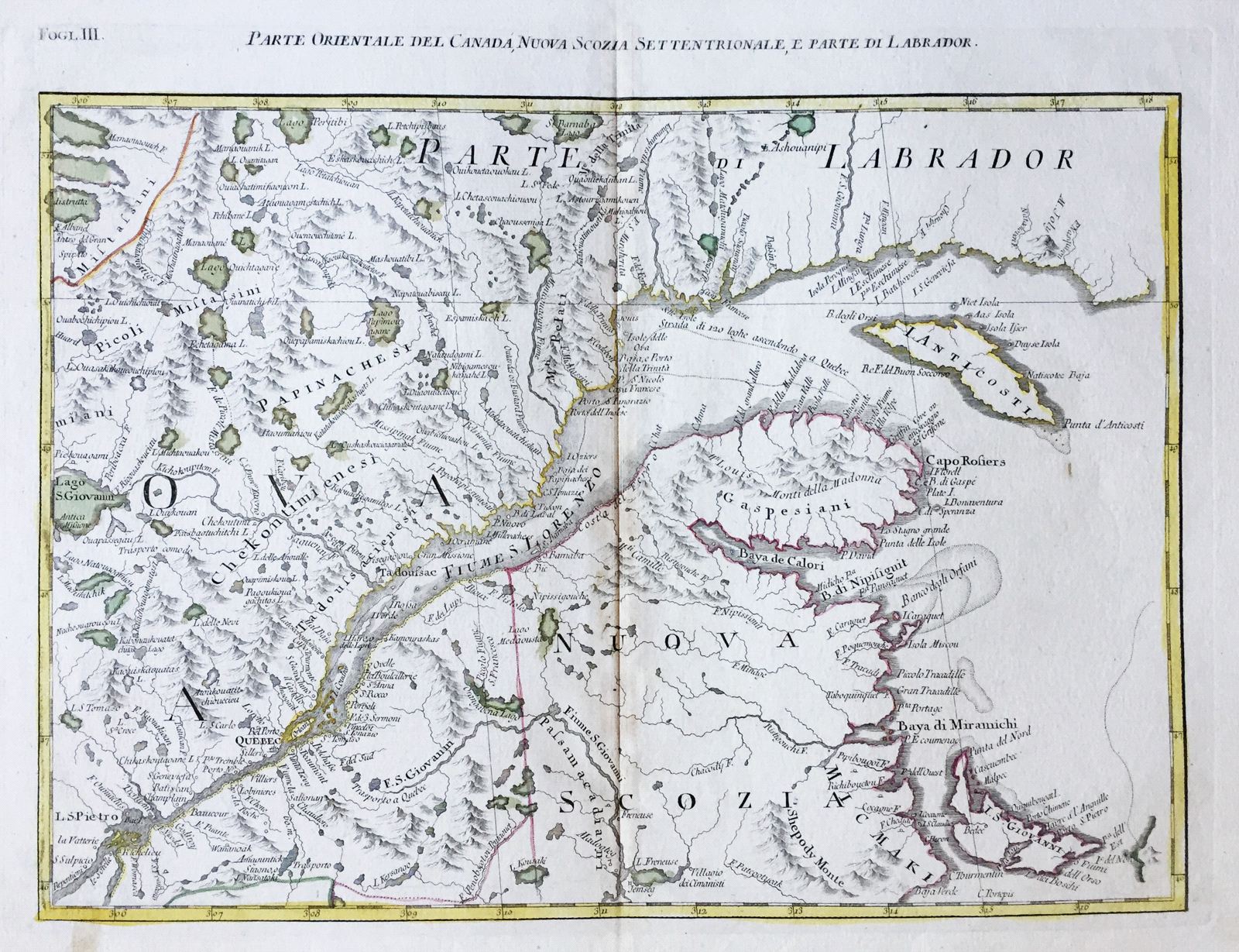
Parte Orientale del Canada, Nuova Scozia Settentrionale, e parte di Labrador
This item has been sold. Please check our homepage for currently available maps.
The highly detailed map of southeastern Canada, centered on the River and Gulf of St. Lawrence, with parts of Nova Scotia and Labrador, from Zatta's 1778 12-sheet version of Mitchell's landmark map of North America. Includes many place names and topographical details. Item Number: RS2150
Cartographer: Zatta
Place & Date: Venice / 1778
Size: 17" x 12 1/2"
Condition: Original color; light overall age toning and slight browning along centerfold; minor spotting along margins
Price: SOLD