
use +/- or mouse scrollwheel for magnification. click here for full-sized image.
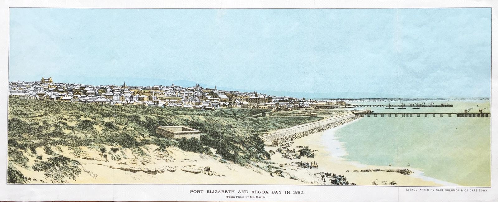
Port Elizabeth and Algoa Bay in 1886
This item has been sold. Please check our homepage for currently available maps.
A panoramic view of Port Elizabeth and Algoa Bay, about 425 miles east of the Cape of Good Hope in what is now South Africa. One of modern South Africa's major seaports, Port Elizabeth is the continent's southernmost large city. Item Number: RS2140
Cartographer: Solomon & Co.
Place & Date: Capetown / 1886
Size: 19" x 7"
Condition: colored lithograph; repaired split at fold
Price: SOLD