
use +/- or mouse scrollwheel for magnification. click here for full-sized image.
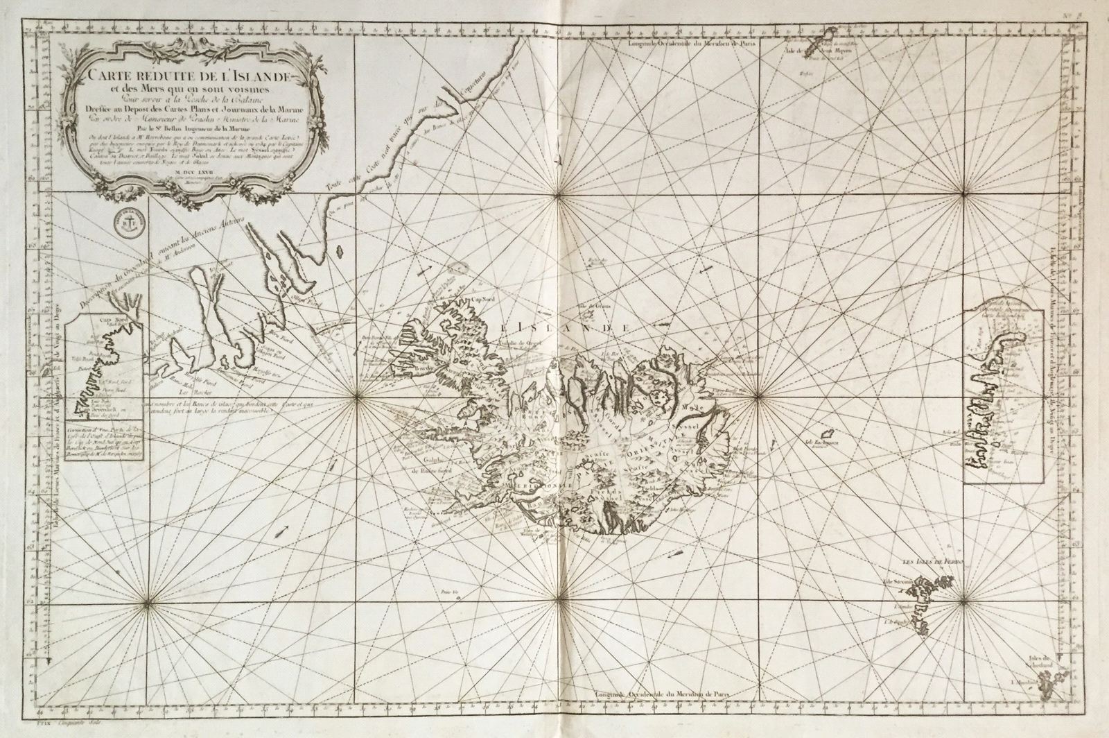
Carte Reduite de l'Islande et des Mers que en sont voisines
This item has been sold. Please check our homepage for currently available maps.
A later edition of Bellin's large, beautifully designed and engraved map of Iceland and the "surrounding seas" from the Hydrographie Francaise. The map encompasses the Faroe Islands and parts of Greenland and the Shetland Islands and includes a magnificent title cartouche. Item Number: RS2134
Cartographer: Bellin
Place & Date: Paris / 1767
Size: 32 1/2" x 21 1/2"
Condition: b&w; light overall age toning, somewhat darker along centerfold; some spotting, mostly in the wide side margins; otherwise a strong impression.
Price: SOLD