
use +/- or mouse scrollwheel for magnification. click here for full-sized image.
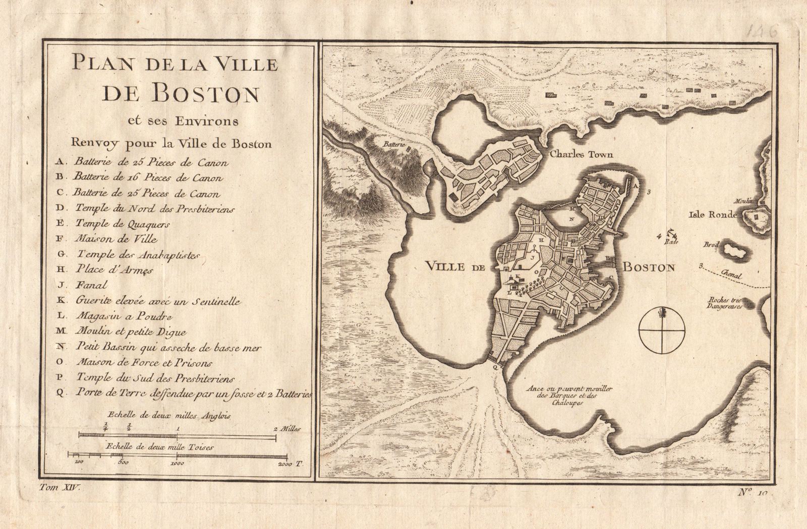
Plan de la Ville de Boston et ses Environs
This item has been sold. Please check our homepage for currently available maps.
Bellin's scarce and very attractive plan of early Boston, encompassing Charlestown and Isle Ronde (East Boston) and showing good shoreline topography and highly detailed street layouts. At left, a letter key identifies 16 important buildings and sites, both religious and civic, including the "Temple d Quaquers" and the "Temple des Anabaptistes." from the atlas of Prevost d'Exiles' influential collection of travel narratives, Histoire Generale des Voyages. Item Number: RS2084
Cartographer: Bellin
Place & Date: Paris / 1757/1760
Size: 10 5/8" x 6 3/8"
Condition: b&w; light overall age toning; a few spots in the wide margins and a very light water stain in the bottom right corner of the margin; margins extended with contemporary paper to fit the size of the atlas volume
Price: SOLD