
use +/- or mouse scrollwheel for magnification. click here for full-sized image.
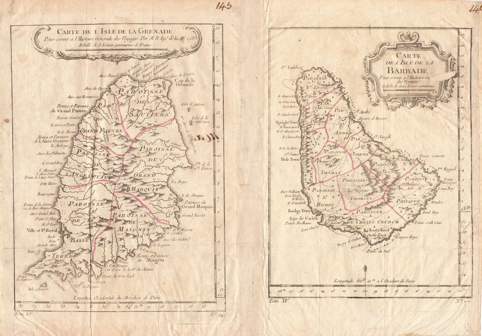
Carte de l'Isle de la Grenade [and on the same sheet] Carte de l'Isle de la Barbade
This item has been sold. Please check our homepage for currently available maps.
The small but charming maps of Grenada and Barbados joined in a single sheet from the atlas of Prevost d'Exiles' influential collection of travel narratives, Histoire Generale des Voyages. Both islands are shown divided into parishes and with good topographical details, many place names (especially along the coasts), and decorative floral cartouches. Item Number: RS2046
Cartographer: Bellin
Place & Date: Paris / 1758/1760
Size: 6" x 8 1/4" (Grenada); 5 7/8" x 7 3/4" (Barbados)
Condition: outline color; overall age toning; some spotting and wrinkling; a tiny, barely visible repaired puncture hole in the Grenada map; a larger repair with loss of text and image in the cartouche of the Barbados map; margins extended with contemporary paper to fit the size of the atlas volume
Price: SOLD