
use +/- or mouse scrollwheel for magnification. click here for full-sized image.
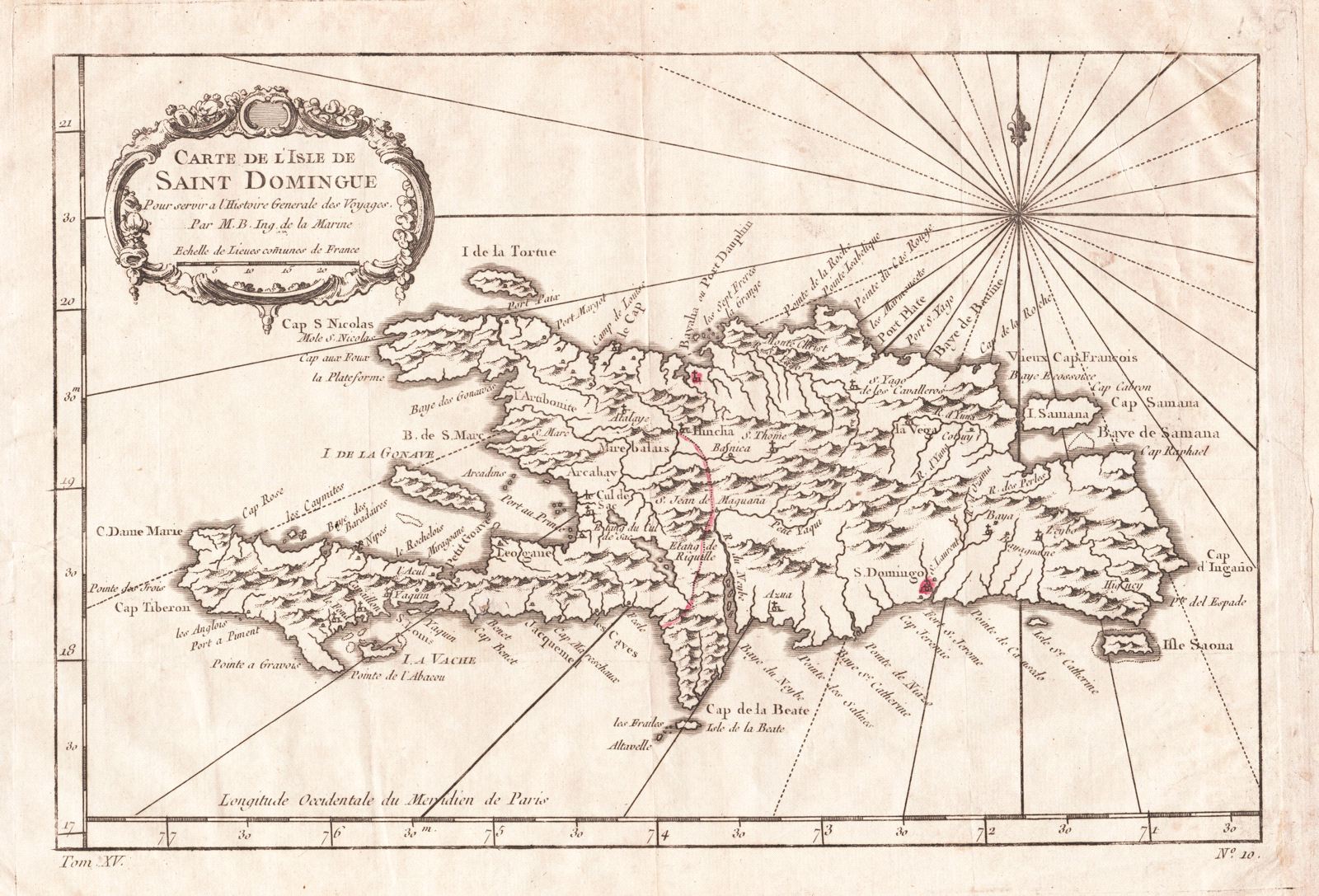
Carte de l'Isle de St. Domingue
This item has been sold. Please check our homepage for currently available maps.
Bellin's beautifully designed and engraved map of the island of Hispaniola, or Saint Domingue, with charming topographical details, many place names (especially along the coasts), and a lovely floral cartouche. From the atlas of Prevost d'Exiles' influential Histoire Generale des Voyages. Item Number: RS2041
Cartographer: Bellin
Place & Date: Paris / 1754/1760
Size: 11 1/2" x 7 5/8"
Condition: b&w; light overall age toning; a tiny repaired puncture hole in the lower left quadrant; margins extended with contemporary paper to fit the size of the atlas volume
Price: SOLD