
use +/- or mouse scrollwheel for magnification. click here for full-sized image.
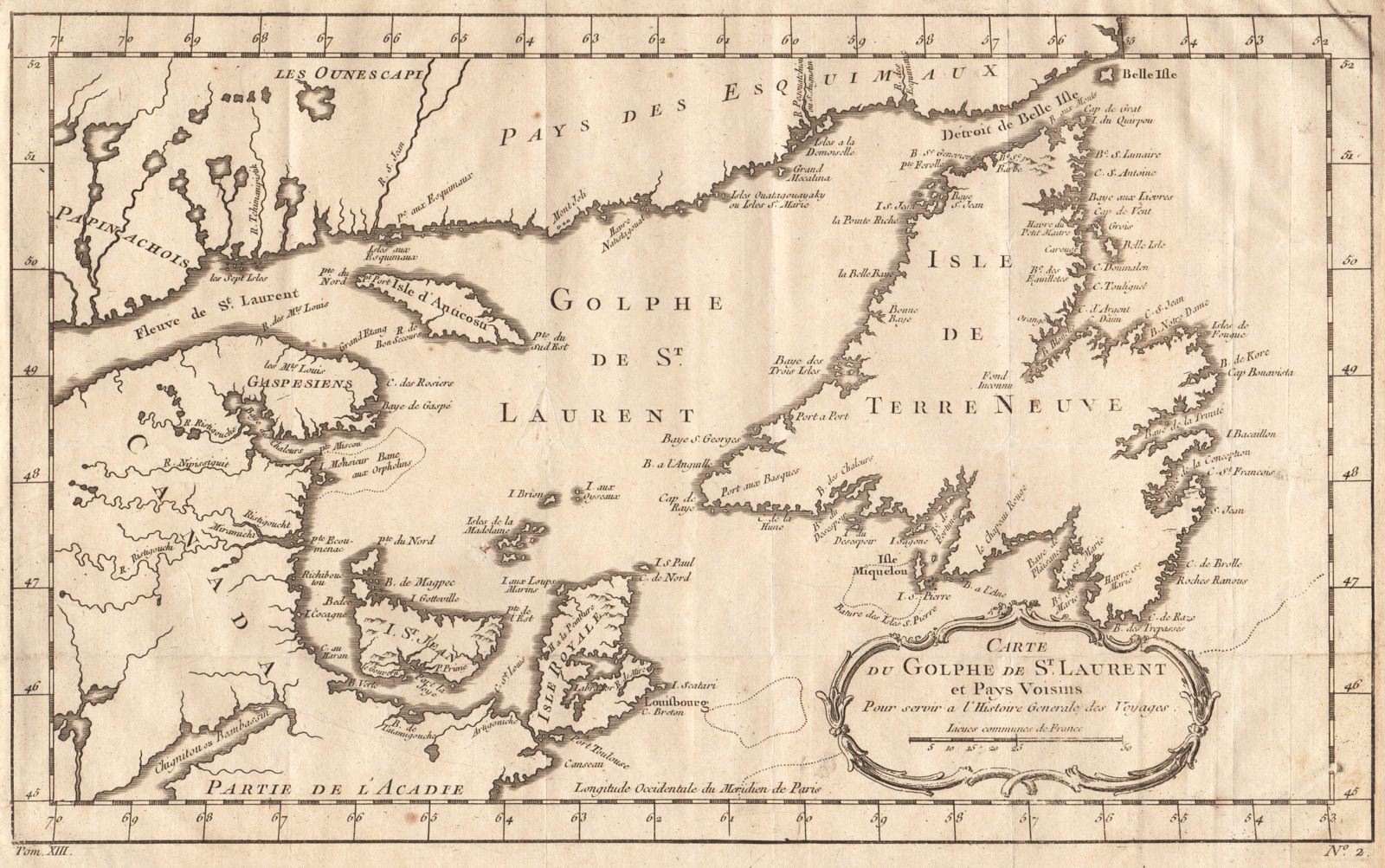
Carte du Golphe de St. Laurent et Pays Voisins
This item has been sold. Please check our homepage for currently available maps.
Bellin's attractive map of the Gulf of St. Lawrence, showing Anticosti Island, the Gaspe Peninsula, Prince Edward Island (I. St. Jean), Cape Breton Island (Isle Royale), Newfoundland, and to the north, the "land of the Eskimos," from the atlas of Prevost d'Exiles' Histoire Generale des Voyages. Item Number: RS2037
Cartographer: Bellin
Place & Date: Paris / 1753/1760
Size: 10 3/4" x 8 1/8"
Condition: b&w; overall age toning; a few small spots; margins extended with contemporary paper to fit the size of the atlas volume
Price: SOLD