
use +/- or mouse scrollwheel for magnification. click here for full-sized image.
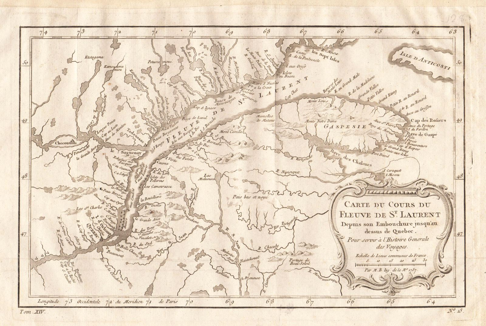
Carte du Cours du Fleuve de St. Laurent
This item has been sold. Please check our homepage for currently available maps.
Bellin's superbly engraved and highly detailed map of the course of the St. Lawrence River from its mouth to just below Quebec, with it many tributaries and riverside localities. The map encompasses parts of Quebec (including the entire Gaspe Peninsula and part of Anticosti Island in the river's mouth) and New Brunswick and the northern tip of Maine (below the S. Jean River). From the atlas of Prevost d'Exiles' Histoire Generale des Voyages. Item Number: RS2032
Cartographer: Bellin
Place & Date: Paris / 1757/1760
Size: 11 3/4" x 7 3/8"
Condition: b&w; a tiny, barely visible repaired puncture hole in the lower left quadrant; margins extended with contemporary paper to fit the size of the atlas volume
Price: SOLD