
use +/- or mouse scrollwheel for magnification. click here for full-sized image.
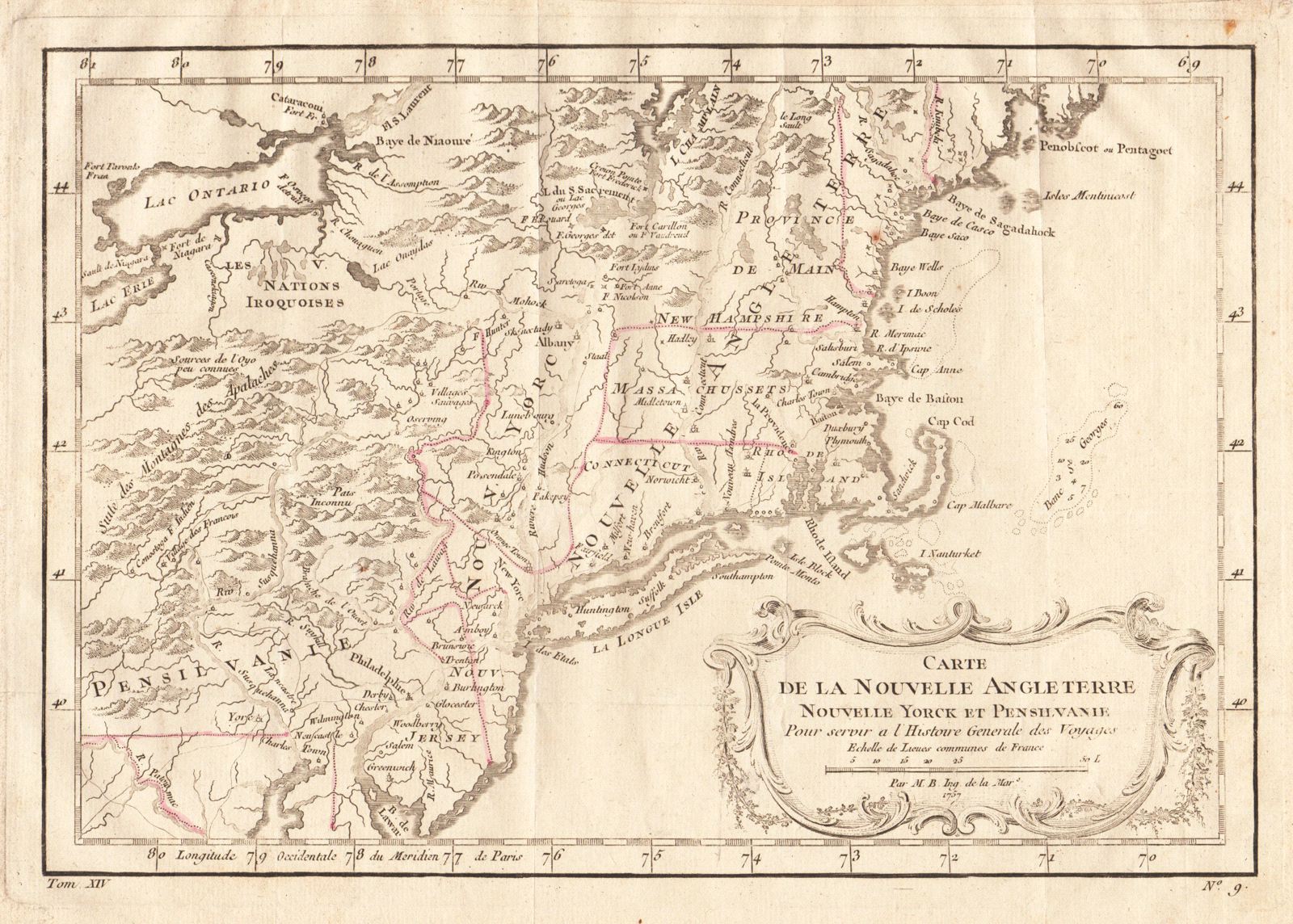
Carte de la Nouvelle Angleterre, Nouvelle Yorck, et Pensilvanie
This item has been sold. Please check our homepage for currently available maps.
Bellin's highly detailed map of New England, New York, New Jersey, and part of Pennsylvania and Maryland, extending west beyond the Appalachians to Lakes Erie and Ontario and the lands of "the Iroquois Nations." From Prevost d'Exiles' Histoire Generale des Voyages. Item Number: RS2030
Cartographer: Bellin
Place & Date: Paris / 1757/1760
Size: 11 5/8" x 8"
Condition: light outline color; overall age toning; some minor spotting; a tiny repaired puncture hole in the lower left quadrant; margins extended with contemporary paper to fit the size of the atlas volume
Price: SOLD