
use +/- or mouse scrollwheel for magnification. click here for full-sized image.
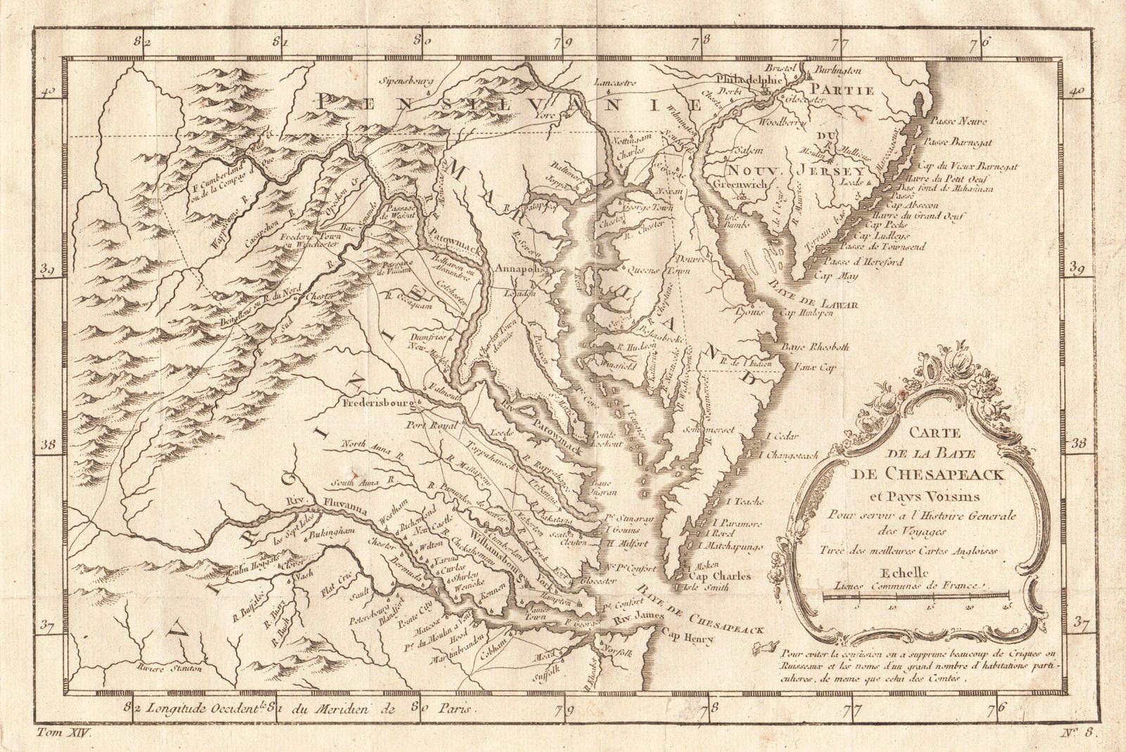
Carte de la Baye de Chesapeack et Pays Voisins
This item has been sold. Please check our homepage for currently available maps.
Bellin's highly detailed map of the Chesapeake Bay area, including parts of Pennsylvania, New Jersey, Virginia, all of Maryland, and an unnamed Delaware. From the atlas of Prevost d'Exiles' influential collection of travel narratives, Histoire Generale des Voyages. Item Number: RS2029
Cartographer: Bellin
Place & Date: Paris / 1757/1760
Size: 11 1/8" x 7 3/8"
Condition: b&w; overall age toning; some minor spotting; a tiny repaired puncture hole in the lower left quadrant; margins extended with contemporary paper to fit the size of the atlas volume
Price: SOLD