
use +/- or mouse scrollwheel for magnification. click here for full-sized image.
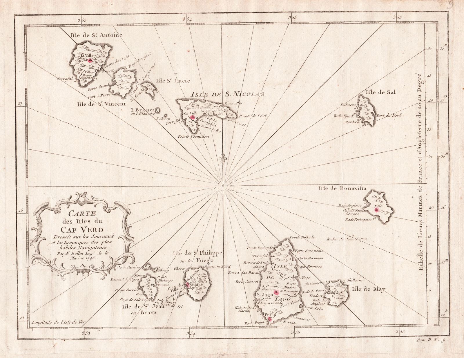
Carte des Isles du Cap Verd
This item has been sold. Please check our homepage for currently available maps.
Bellin's attractive and well detailed map of the Atlantic islands of Cape Verde, "drawn from the journals and notes of the ablest navigators," from the atlas of Prevost d'Exiles' influential travel book, Histoire Generale des Voyages. Item Number: RS2004
Cartographer: Bellin
Place & Date: Paris / 1746/1760
Size: 11" x 8 1/4"
Condition: b&w (towns highlighted in red); overall age toning, margins extended with contemporary paper to fit the size of the atlas volume
Price: SOLD