
use +/- or mouse scrollwheel for magnification. click here for full-sized image.
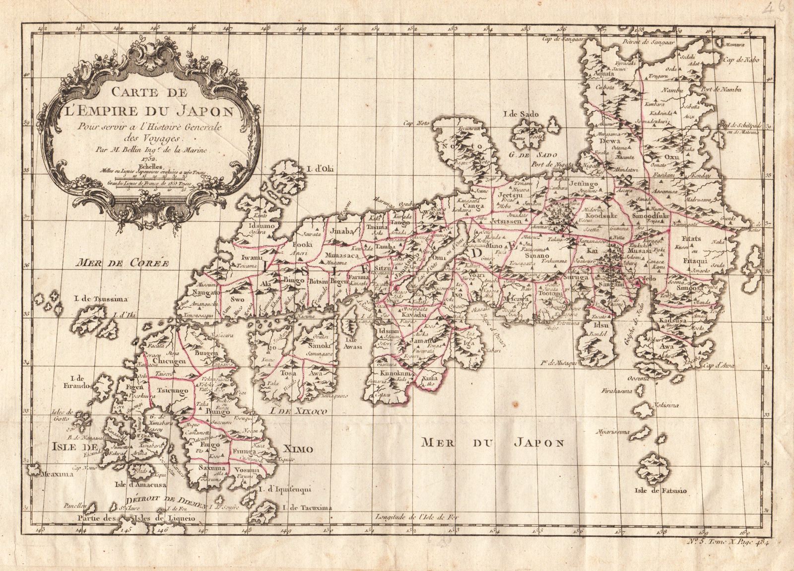
Carte de l'Empire du Japon
This item has been sold. Please check our homepage for currently available maps.
Bellin's wonderfully detailed map of Japan from the atlas of Prevost d'Exiles' influential collection of travel narratives, Histoire Generale des Voyages. Considered the best general outline of Japan of the 18th century, the map includes provincial borders, many place names and topographical details, and a lovely rococo-style title cartouche. Item Number: RS1990
Cartographer: Bellin
Place & Date: Paris / 1752/1760
Size: 12 1/8" x 8 1/4"
Condition: outline color; light overall age toning; minor spotting; margins extended with contemporary paper to fit the size of the atlas volume
Price: SOLD