
use +/- or mouse scrollwheel for magnification. click here for full-sized image.
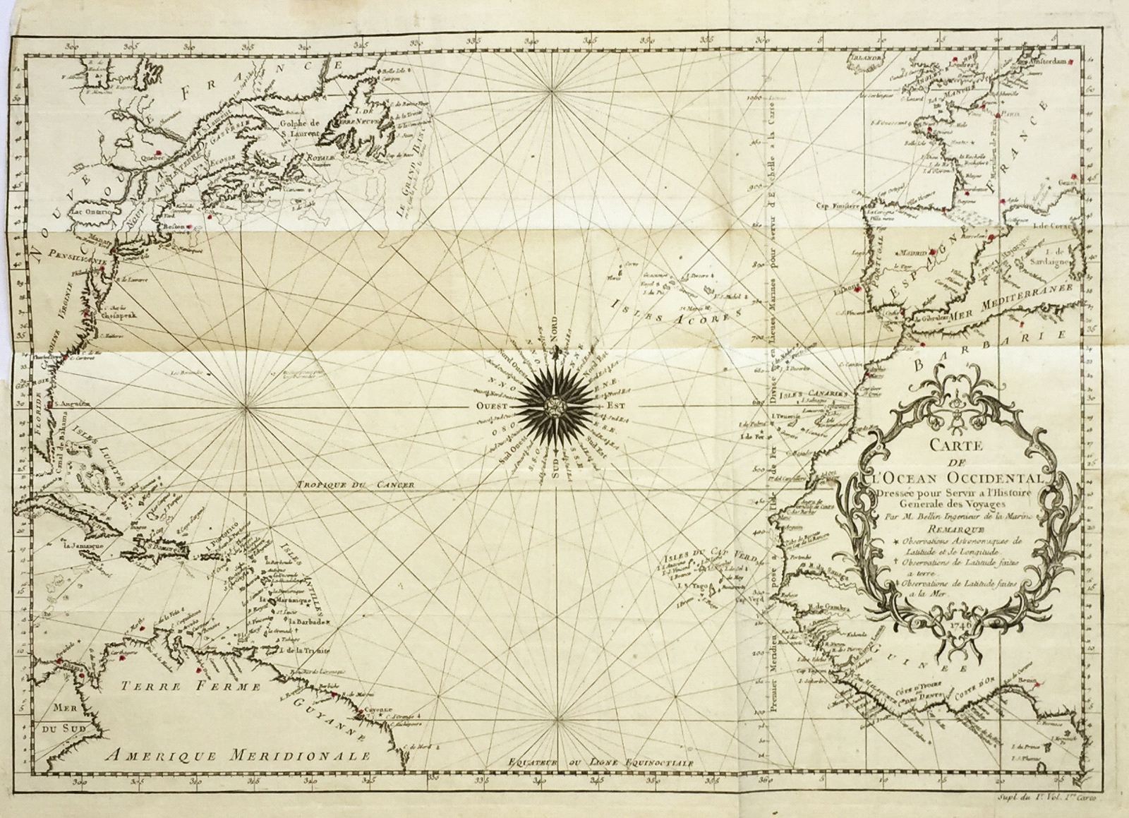
Carte de l'Ocean Occidental
This item has been sold. Please check our homepage for currently available maps.
Bellin's magnificent chart of the northern Atlantic ("Western") Ocean, with a dramatic compass rose at its center and superbly decorative title cartouche, from Prevost d'Exiles' influential collection of travel narratives, Histoire Generale des Voyages. The map encompasses eastern North America, all of the West Indies, and northern South Ameirca, and on the other side of the ocean, the southern British Isles, western Europe and the bulge of western Africa. Item Number: RS1963
Cartographer: Bellin
Place & Date: Paris / 1746/1760
Size: 18" x 12 1/2"
Condition: b&w; old folds as published; light overall age toning
Price: SOLD