
use +/- or mouse scrollwheel for magnification. click here for full-sized image.
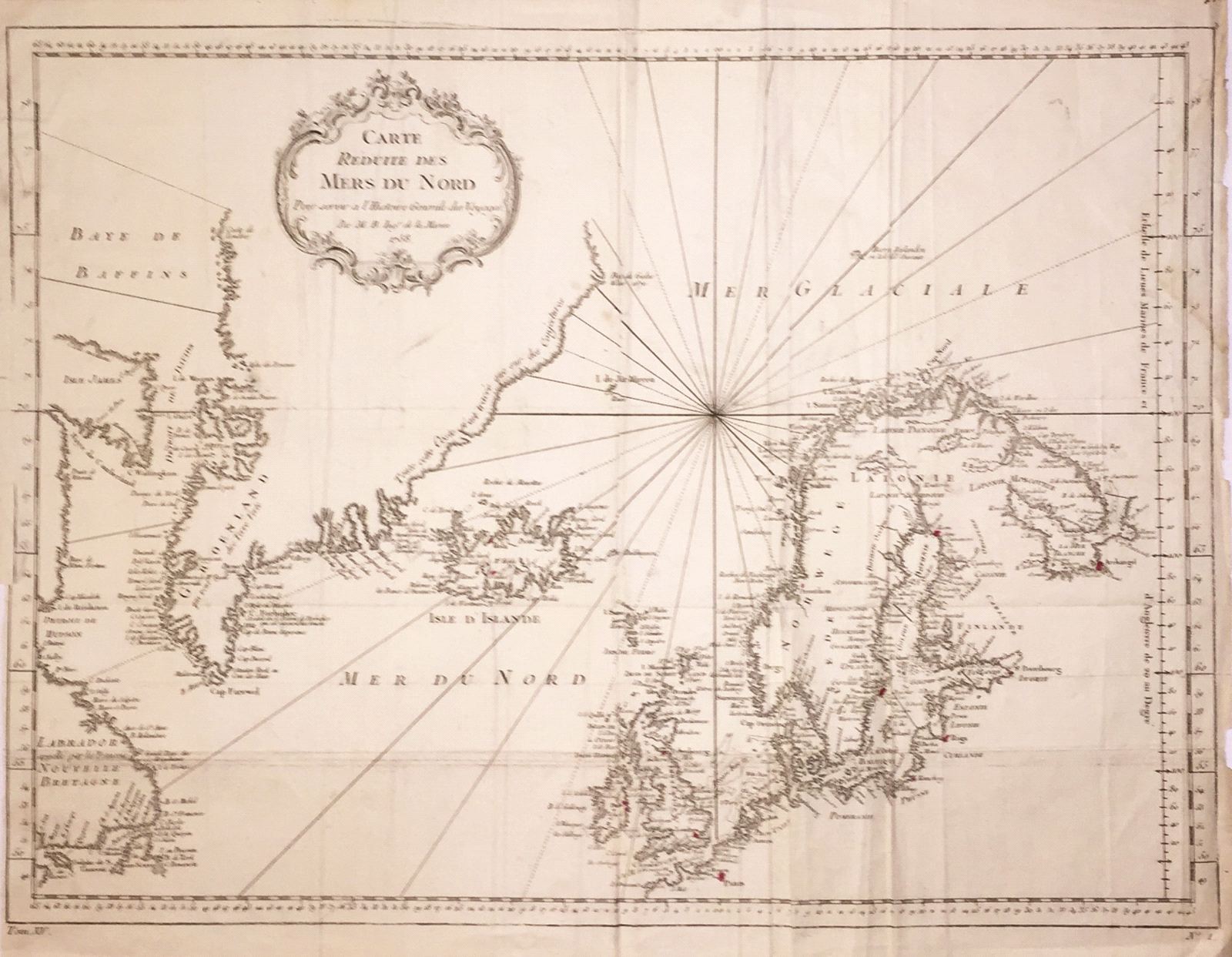
Carte Reduite des Mers du Nord
This item has been sold. Please check our homepage for currently available maps.
Bellin's highly detailed and dramatically designed map of the "Northern Seas" from Prevost d'Exiles' influential collection of travel narratives, Histoire Generale des Voyages. The map encompasses Labrador, Baffin Island ("Isle James"), Greenland, Iceland, the British Isles and Scandinavia, and a large, decorative title cartouche. Item Number: RS1962
Cartographer: Bellin
Place & Date: Paris / 1758
Size: 18" x 13"
Condition: b&w; overall age toning; old folds and wrinkling; one small hole (on Norway's coast) at weakened fold
Price: SOLD