use +/- or mouse scrollwheel for magnification. click here for full-sized image.
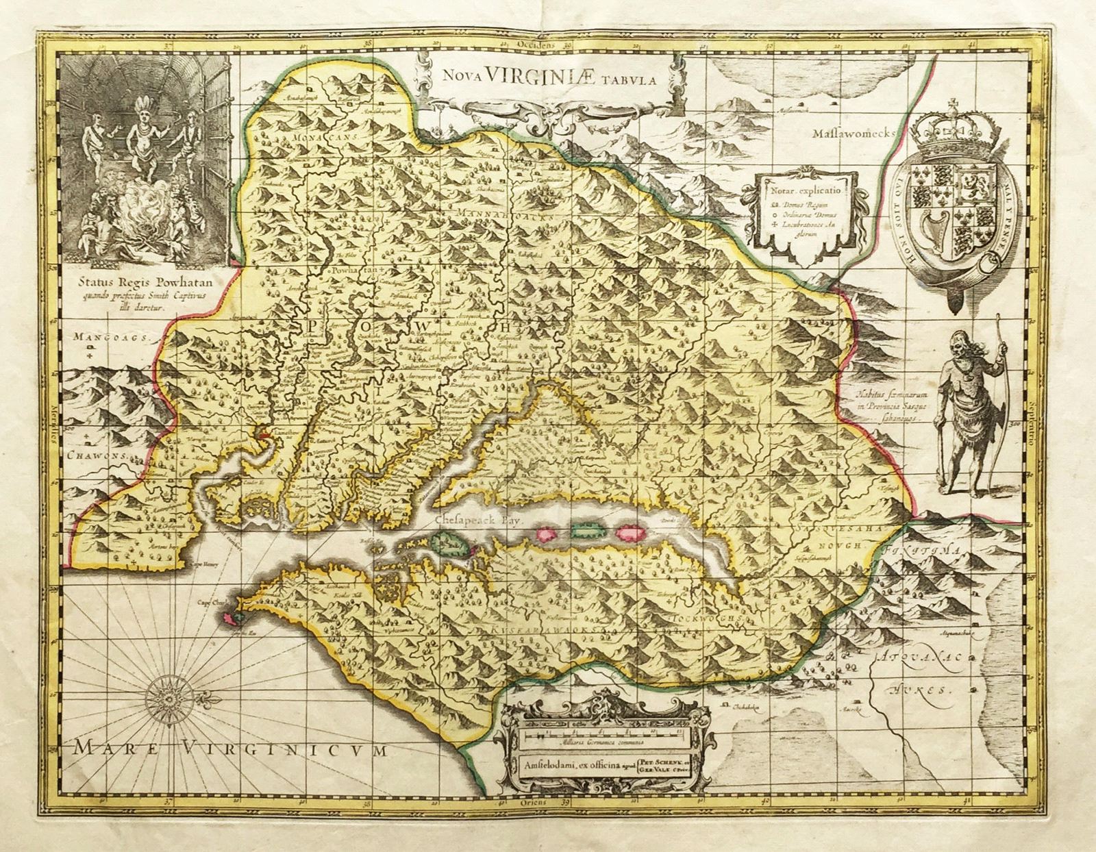
Nova Virginiae Tabula
This item has been sold. Please check our homepage for currently available maps.
The uncommon second and last state of Henricus Hondius' 1630 derivative of John Smith's landmark 1612 map of Virginia. The Valk and Schenk edition includes the publishers' name, new longitude and latitude lines, and a dotted line indicating the boundaries of the Virginia colony, as well as the famous image of Powhattan's court, the British coat of arms, a depiction of a native Virginia woman, and a key to symbols. A well preserved exemplar in old outline and wash color. Item Number: RS1539
Cartographer: Hondius / Valk & Schenk
Place & Date: Amsterdam / 1700
Size: 19 1/2" x 15"
Condition: wash color; light overall age toning; some spotting in margins; two small repaired tears near centerfold and repaired splits in upper and lower margins at centerfold
Price: SOLD
