
use +/- or mouse scrollwheel for magnification. click here for full-sized image.
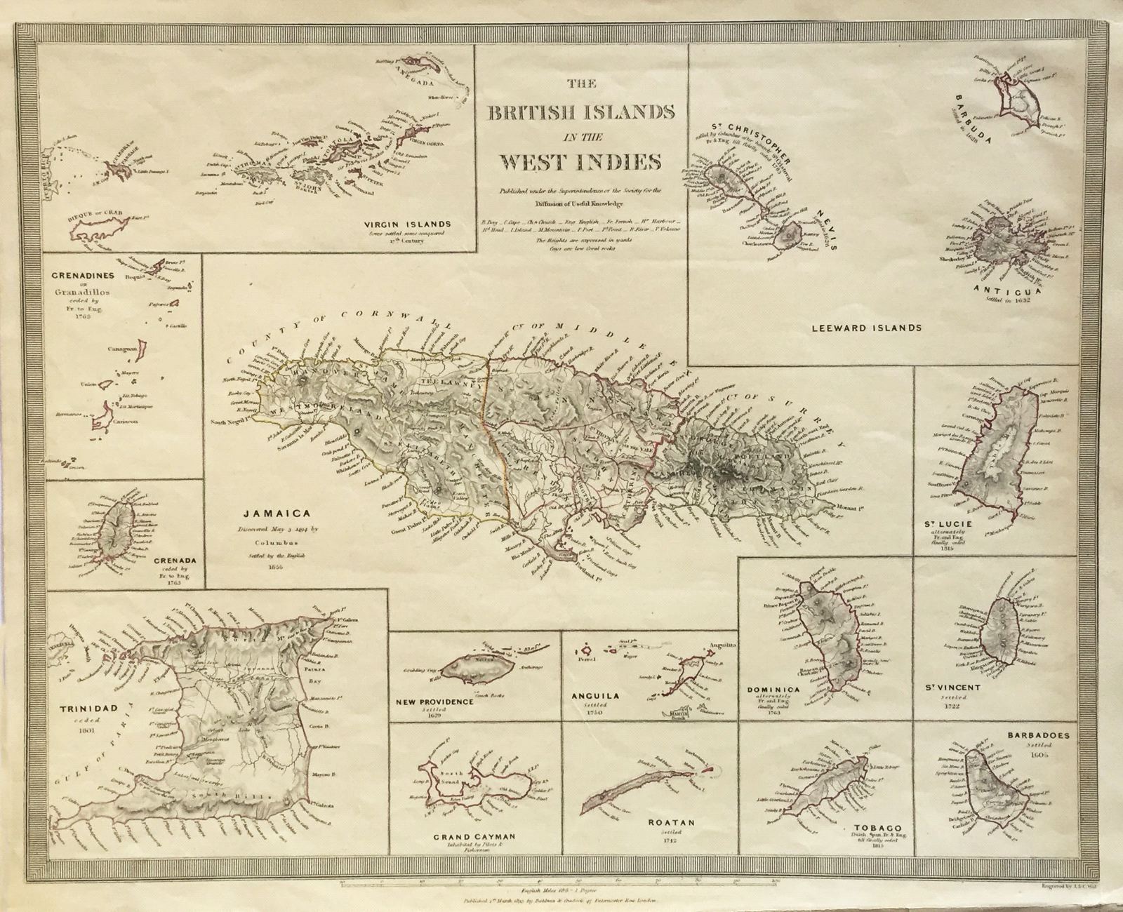
The British Islands in the West Indies
This item has been sold. Please check our homepage for currently available maps.
The typically detailed SDUK composite map of British possessions in the Caribbean. The large central map of Jamaica is surrounded by fourteen inset maps of individual islands or island groups of the Lesser Antilles, with their dates of discovery or British settlement. Item Number: K1078
Cartographer: Society for the Diffusion of Useful Knowledge
Place & Date: London / 1830
Size: 15 1/4" x 12 1/2"
Condition: outline color; overall age toning
Price: SOLD