
use +/- or mouse scrollwheel for magnification. click here for full-sized image.
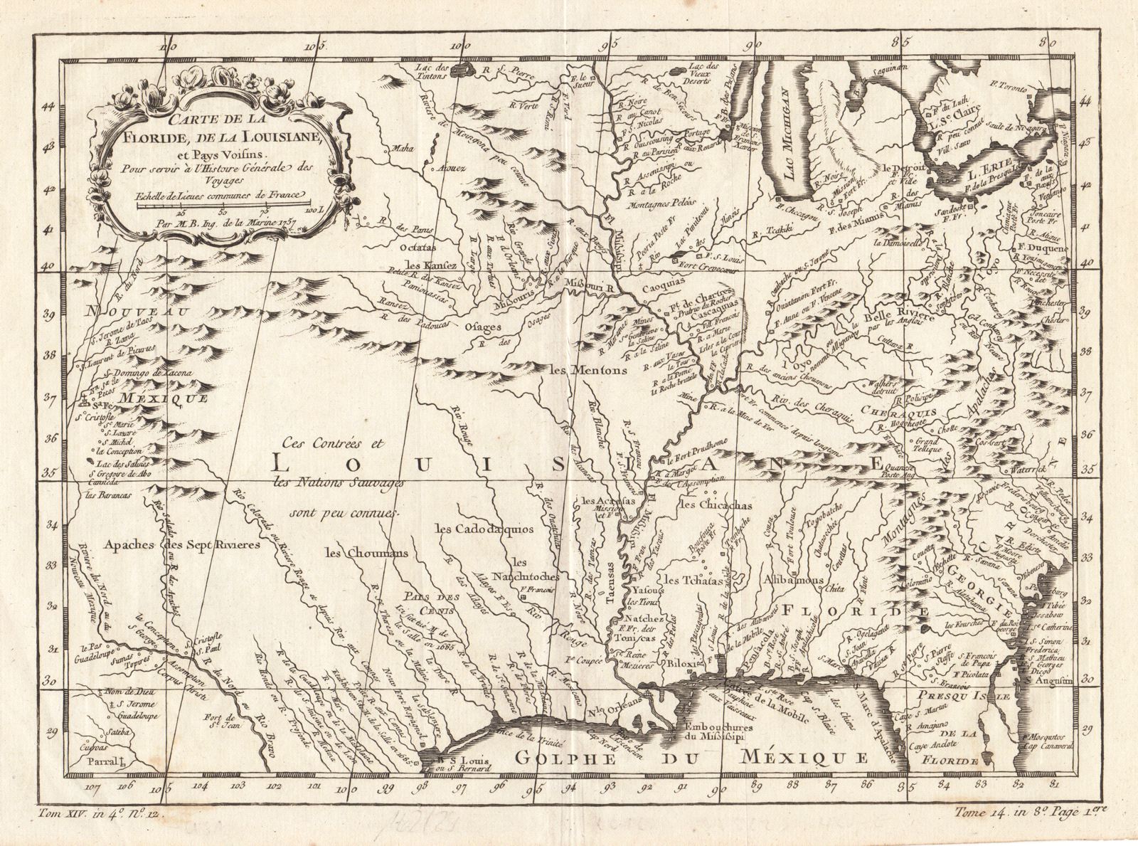
Carte de la Floride, de la Louisiane, et Pays Voisins
This item has been sold. Please check our homepage for currently available maps.
Bellin's beautifully rendered and highly detailed map of the Florida and Louisiana territories, extending from the eastern seaboard of North America to the Rio Grande and Santa Fe. Includes much topographical detail and the names of many Indian tribes, as well as a decorative title cartouche. Item Number: JG1046
Cartographer: Bellin
Place & Date: Paris / 1757
Size: 12" x 8 1/2"
Condition: b&w; overall age toning, minor spotting, mostly in margins
Price: SOLD