
use +/- or mouse scrollwheel for magnification. click here for full-sized image.
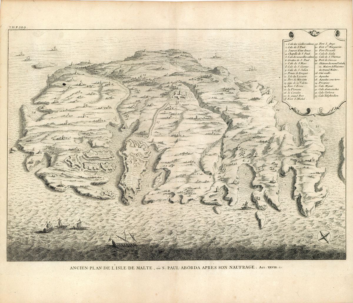
Ancien Plan de l'Isle de Malte, ou S. Paul Aborda apres son Naufrage, Act XXVIII.
This item has been sold. Please check our homepage for currently available maps.
The very scarce "old plan of the island of Malta, where St. Paul landed after his shipwreck" from Calmet's Dictionnaire historique, critique, chronologique, geographique et litteral de la Bible. The beautifully detailed map features a vignette of St. Paul's shipwreck and other vessels in the Mediterranean and a number key to 33 sites on the island, including the island's capital, Valetta, and various forts, castles and villages. Item Number: GG2621
Cartographer: Calmet
Place & Date: Paris / 1728
Size: 17" x 12"
Condition: b&w; light overall age toning
Price: SOLD