
use +/- or mouse scrollwheel for magnification. click here for full-sized image.
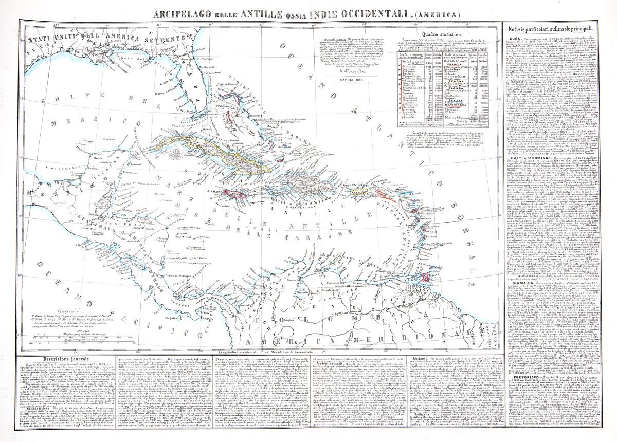
Arcipelago delle Antille ossia Indie Occidentali
This item has been sold. Please check our homepage for currently available maps.
A scarce, mid-19th-century Italian map of the West Indies from Marzolla's Atlante Geografico. Derived from the 1935 SDUK West Indies, this beautifully engraved and well detailed map includes a statistical chart showing each island's area, population, and colonial power and copious geographical, historical, statistical, and economic notes on the region and its principal islands. Item Number: GG2464
Cartographer: Marzolla
Place & Date: Naples / 1850
Size: 23 3/4" x 17 1/8"
Condition: outline color; minor, very light spotting
Price: SOLD