
use +/- or mouse scrollwheel for magnification. click here for full-sized image.
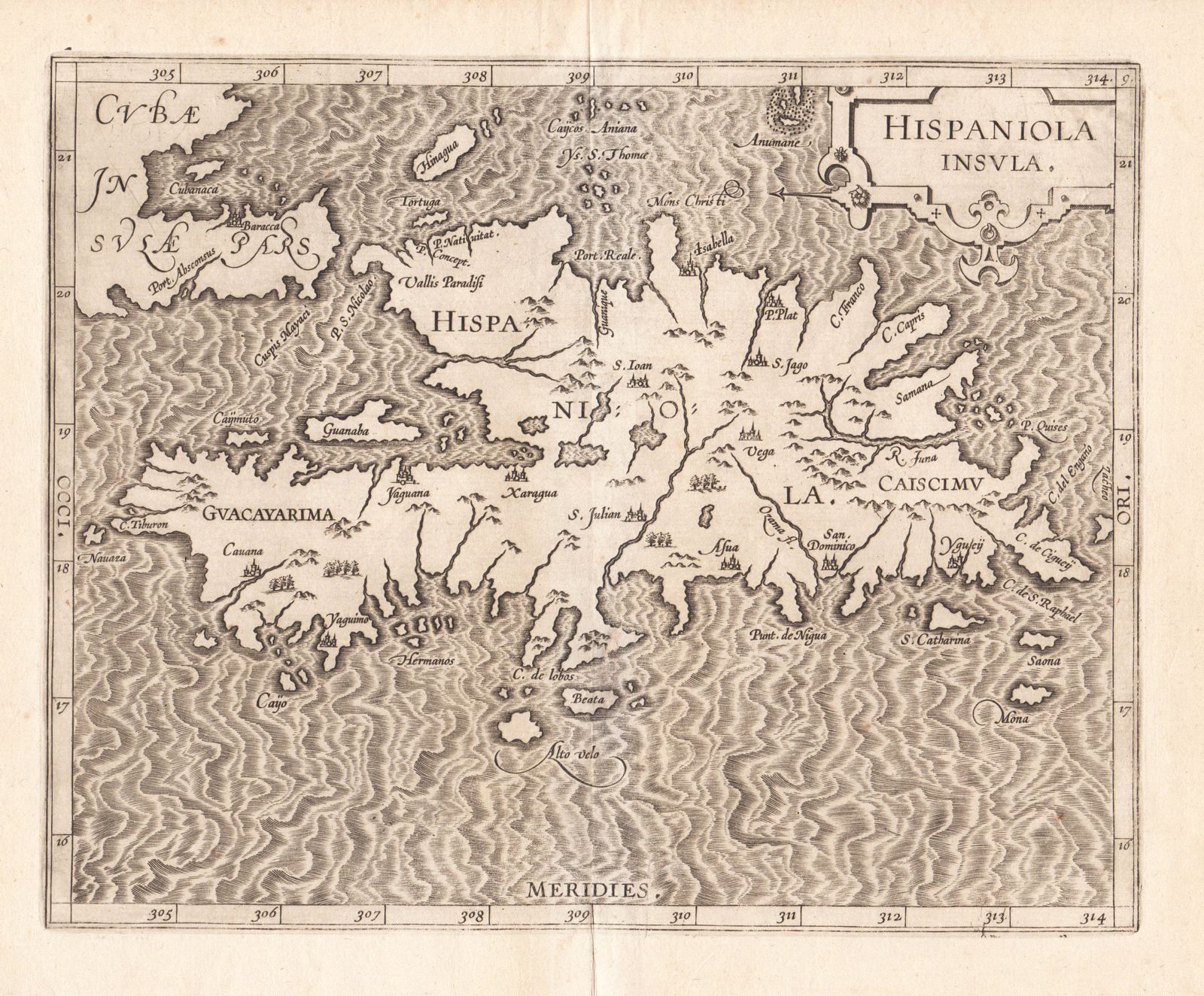
Hispaniola Insula
This item has been sold. Please check our homepage for currently available maps.
A key early Netherlandish map of the island, in a beautifully preserved, strong, dark impression, from the first atlas devoted exclusively to the Americas. Item Number: GG2229
Cartographer: Wytfliet
Place & Date: Louvain / 1597
Size: 11 1/4" x 9"
Condition: b&w; overall age toning; some spotting, mostly in margins
Price: SOLD