
use +/- or mouse scrollwheel for magnification. click here for full-sized image.
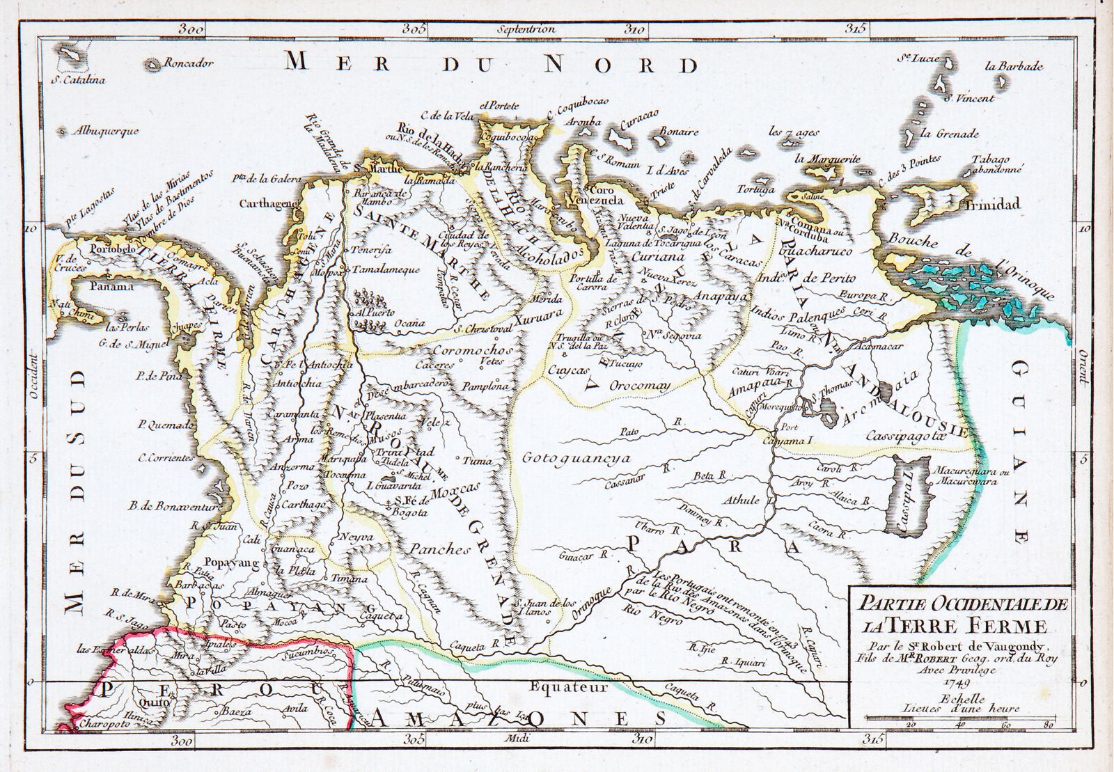
Partie Occidentale de la Terre Ferme
This item has been sold. Please check our homepage for currently available maps.
An attractive, detailed map of the northwestern part of South America encompassing part of present day Panama, Colombia and Venezuela, by one of the leading French mapmakers of the 18th century. A well-preserved sheet from Robert de Vaugondy's Atlas Portatif Universel. Item Number: GG2211
Cartographer: Robert de Vaugondy
Place & Date: Paris / 1749
Size: 9 1/4" x 6 3/8"
Condition: outline color; light overall age toning
Price: SOLD